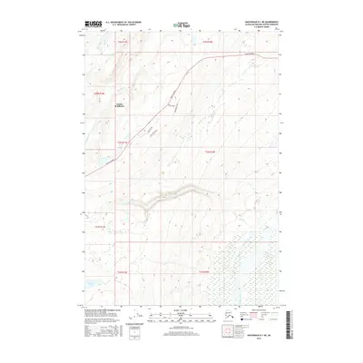
2016 Map of Anchorage D-1 NE
USGS Topo · Published 2016About this map
Eureka Roadhouse serves as the central landmark in this high-elevation interior landscape of the Matanuska-Susitna Borough. The map reveals a transition from the structured corridor of the Glenn Highway to the untamed drainages of the Nelchina River and Old Man Cr. The drainage pattern is complex, with Eureka Cr carving through the center of the sheet towards the southeast, while the southern reaches are dominated by the swampy margins of Shallow Lake. Local access is limited to a small network of roads near the roadhouse, including Summit Loop and Scenic View Drive, which hint at the seasonal recreation and backcountry travel that characterize this Alaskan subarctic environment. This 2016 survey captures the area before modern developments could further alter the sparsely populated terrain.
Find a feature on this map
18 named features on this map. Tap any name to fly to it.
Don’t see what you’re looking for? This feature index may not catch every label — zoom into the map to look around manually.
Map Details
Editions of this 2016 Anchorage D-1 NE Map
This is the sole edition of this map. No revisions or reprints were ever made.
Other maps of this area

1948 · Anchorage D-1
USGS Topo · 1:63,360

1949 · Talkeetna Mountains A-1
USGS Topo · 1:63,360

1949 · Gulkana A-6
USGS Topo · 1:63,360

1949 · Valdez D-8
USGS Topo · 1:63,360

1950 · Talkeetna Mountains
USGS Topo · 1:250,000

1951 · Gulkana
USGS Topo · 1:250,000

1951 · Anchorage
USGS Topo · 1:250,000

1951 · Anchorage D-1
USGS Topo · 1:63,360

1952 · Valdez D-8
USGS Topo · 1:63,360

1952 · Valdez
USGS Topo · 1:250,000