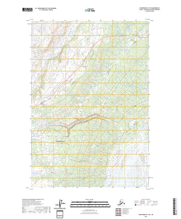
2023 Map of Anchorage D-1 NE
USGS Topo · Published 2023About this map
Eureka Roadhouse serves as a primary landmark in this high-elevation Alaskan landscape, situated along the Glenn Highway as it traverses the Matanuska-Susitna region. The terrain is defined by the braided path of the Nelchina River in the southeast and the winding course of Eureka Creek. The map documents a sparse but deliberate network of remote access roads such as Timber Wolf Road and Kingery Road, which branch off the main highway to serve isolated airfield and residential sites. Aviation history and utility are noted at Skelton Airport, providing a critical link for this sparsely populated territory. The presence of Old Man Creek and Shallow Lake further characterizes the subarctic hydrology of the plateau, where drainage patterns are often dictated by subtle shifts in elevation across the vast glacial till.
Find a feature on this map
19 named features on this map. Tap any name to fly to it.
Don’t see what you’re looking for? This feature index may not catch every label — zoom into the map to look around manually.
Map Details
Editions of this 2023 Anchorage D-1 NE Map
This is the sole edition of this map. No revisions or reprints were ever made.
Other maps of this area

1948 · Anchorage D-1
USGS Topo · 1:63,360

1949 · Talkeetna Mountains A-1
USGS Topo · 1:63,360

1949 · Gulkana A-6
USGS Topo · 1:63,360

1949 · Valdez D-8
USGS Topo · 1:63,360

1950 · Talkeetna Mountains
USGS Topo · 1:250,000

1951 · Gulkana
USGS Topo · 1:250,000

1951 · Anchorage
USGS Topo · 1:250,000

1951 · Anchorage D-1
USGS Topo · 1:63,360

1952 · Valdez D-8
USGS Topo · 1:63,360

1952 · Valdez
USGS Topo · 1:250,000