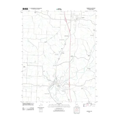
2012 Map of Anderson
USGS Topo · Published 2012About this map
Indian Creek meanders through the heart of this McDonald County landscape, carving a complex series of valleys that define the local geography. The settlement of Anderson serves as a central hub, where the creek is joined by the South Fork Patterson Creek and North Fork Patterson Creek. Further north, the communities of Goodman, Splitlog, and Elliff are connected by a network of rural routes, including the Ozark Trl. The map reveals a deeply dissected terrain characterized by numerous named hollows, such as Thief Hollow, Bunkum Hollow, and Pole Cat Hollow, which suggest a long history of local naming conventions tied to the winding watercourses and steep ridges like Holloway Mountain. The area around Kelley Springs and Twin Springs Hollow highlights the importance of freshwater sources in the development of these Ozark foothills settlements during the early 21st century.
Find a feature on this map
77 named features on this map. Tap any name to fly to it.
Don’t see what you’re looking for? This feature index may not catch every label — zoom into the map to look around manually.
Map Details
Editions of this 2012 Anderson Map
This is the sole edition of this map. No revisions or reprints were ever made.
Other maps of this area

1907 · Wyandotte
USGS Topo · 1:125,000

1909 · Wyandotte
USGS Topo · 1:125,000

1916 · Neosho
USGS Topo · 1:62,500

1940 · Noel
USGS Topo · 1:62,500

1943 · Noel
USGS Topo · 1:62,500

1949 · Seneca
USGS Topo · 1:24,000

1950 · Seneca
USGS Topo · 1:24,000

1954 · Tulsa
USGS Topo · 1:250,000

1958 · Tulsa
USGS Topo · 1:250,000

1963 · Tulsa
USGS Topo · 1:250,000