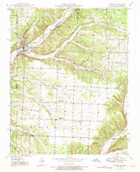
1982 Map of Anderson
USGS Topo · Published 1982About this map
Anderson serves as the central hub of this 1982 survey, situated at the confluence of several prominent drainage systems including Indian Creek and Patterson Creek. The landscape of McDonald County is defined by a series of deeply etched hollows such as Bunkum Hollow, Slover Hollow, and Walnut Hollow, which break the terrain into distinctive ridges like Tatum Hill. To the north, the settlement of Goodman sits atop higher ground, while the smaller community of Splitlog is nestled near the North Fork of the Beaver Branch.
Find a feature on this map
35 named features on this map. Tap any name to fly to it.
Don’t see what you’re looking for? This feature index may not catch every label — zoom into the map to look around manually.
Map Details
Editions of this 1982 Anderson Map
This is the sole edition of this map. No revisions or reprints were ever made.
Other maps of this area

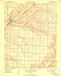
1907 · Wyandotte
USGS Topo · 1:125,000

1909 · Wyandotte
USGS Topo · 1:125,000
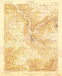
1916 · Neosho
USGS Topo · 1:62,500
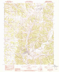
1940 · Noel
USGS Topo · 1:62,500
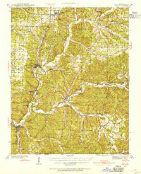
1943 · Noel
USGS Topo · 1:62,500
1949 · Seneca
USGS Topo · 1:24,000
1950 · Seneca
USGS Topo · 1:24,000

1954 · Tulsa
USGS Topo · 1:250,000

1958 · Tulsa
USGS Topo · 1:250,000

1963 · Tulsa
USGS Topo · 1:250,000