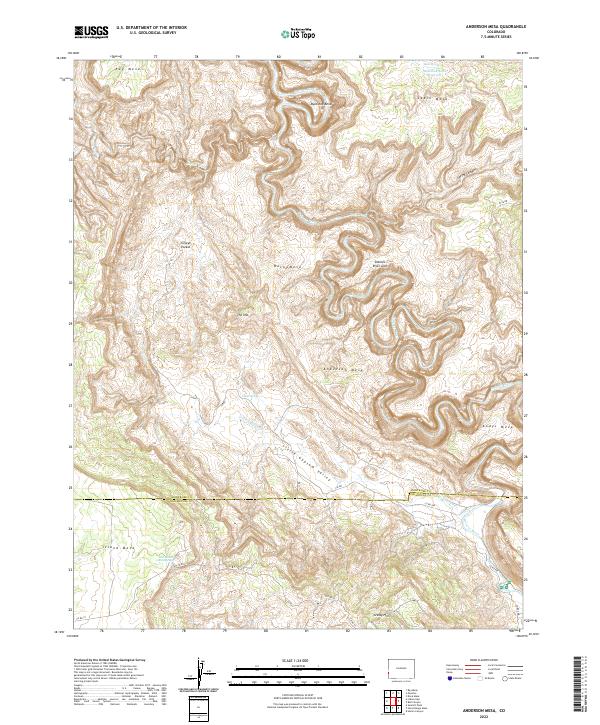
2022 Map of Anderson Mesa
USGS Topo · Published 2022About this map
The Dolores River carves a complex course through this corner of Montrose and San Miguel Counties, creating dramatic topographical landmarks like Muleshoe Bend and the Dolores River Arch. The high mesa country is dominated by the namesake Anderson Mesa and Andys Mesa, while the Little Gypsum Valley cuts through the southern half of the sheet. Settlement is sparse, characterized by isolated locales like Silveys Pocket and water sources such as Skein Spring and Cabin Spring. The landscape is a network of named high points including The Hat and Buck Mesa, connected by a series of primitive county roads and trail systems. This 2022 survey captures the modern state of this remote drainage basin, where drainage features like Coyote Wash and Little Gypsum Cr shape the land below the rising Grassy Hills.
Find a feature on this map
33 named features on this map. Tap any name to fly to it.
Don’t see what you’re looking for? This feature index may not catch every label — zoom into the map to look around manually.
Map Details
Editions of this 2022 Anderson Mesa Map
This is the sole edition of this map. No revisions or reprints were ever made.
Other maps of this area

1885 · La Sal
USGS Topo · 1:250,000

1916 · Paradox Valley
USGS Topo · 1:125,000

1922 · Paradox Valley
USGS Topo · 1:125,000

1948 · Bull Canyon
USGS Topo · 1:24,000

1948 · Horse Range Mesa
USGS Topo · 1:24,000

1948 · Hamm Canyon
USGS Topo · 1:24,000

1948 · Paradox
USGS Topo · 1:24,000

1949 · Bull Canyon
USGS Topo · 1:24,000

1949 · Davis Mesa
USGS Topo · 1:24,000

1949 · Paradox
USGS Topo · 1:24,000