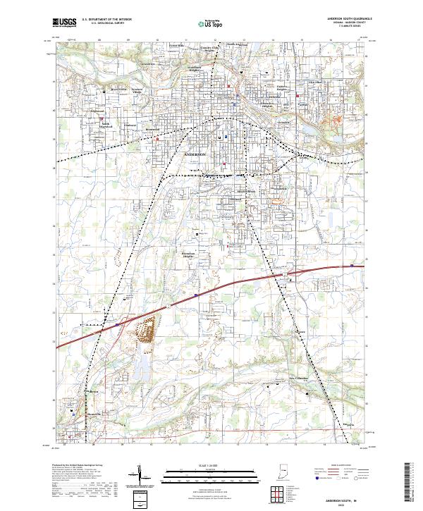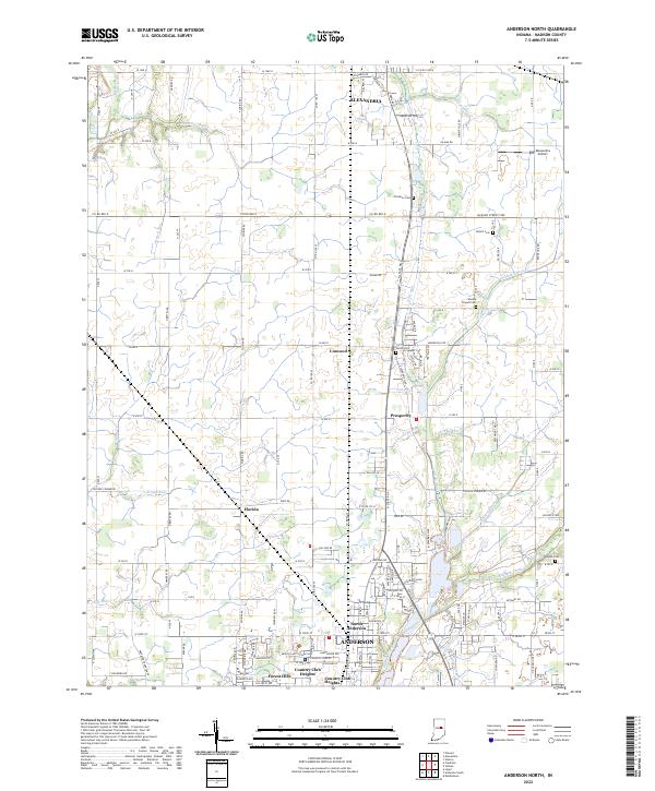
2022 Map of Anderson North
USGS Topo · Published 2022About this map
Alexandria and Anderson anchor the northern and southern bounds of this Madison County landscape, where the agricultural grid meets the expanding reach of residential development. The territory between these hubs is dotted with small unincorporated communities such as Linwood, Florida, and Prosperity, each situated along the primary north-south corridors. Waterways like Killbuck Creek, Pipe Creek, and Little Killbuck Cr weave through the township sections, creating natural deviations in the otherwise orderly survey lines. Local history is preserved in numerous family and community burial grounds, including the Wesley Chapel Cem and Donahoo Cem. In the southern portion of the map, the transition from rural to suburban is evident in the residential clusters of Forest Hills and Country Club Heights, which border the more densely populated city blocks of North Anderson.
Find a feature on this map
132 named features on this map. Tap any name to fly to it.
Don’t see what you’re looking for? This feature index may not catch every label — zoom into the map to look around manually.
Map Details
Editions of this 2022 Anderson North Map
This is the sole edition of this map. No revisions or reprints were ever made.
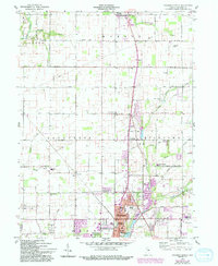
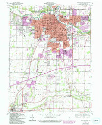
Historical Maps of Anderson Through Time
4 maps found