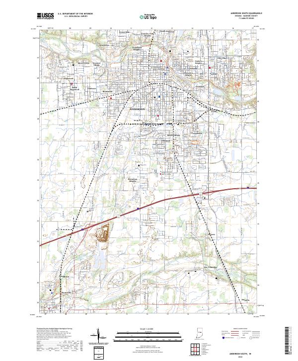
2022 Map of Anderson South
USGS Topo · Published 2022About this map
Anderson serves as the focal point of this Madison County landscape, where the White River bends through a dense network of neighborhoods such as Edgewood, Irondale, and Meadowbrook. The presence of the Madison County Government Center and Courthouse alongside Anderson University underscores the city's role as a regional administrative and educational hub. Beyond the urban center, the terrain transitions into a patchwork of agricultural land and suburban expansion, marked by numerous small cemeteries like Vandeventer Cem and Saint Marys Cem.
Find a feature on this map
57 named features on this map. Tap any name to fly to it.
Don’t see what you’re looking for? This feature index may not catch every label — zoom into the map to look around manually.
Map Details
Editions of this 2022 Anderson South Map
This is the sole edition of this map. No revisions or reprints were ever made.
Other maps of this area

1952 · Ingalls
USGS Topo · 1:24,000

1952 · Anderson
USGS Topo · 1:24,000

1953 · Pendleton
USGS Topo · 1:24,000

1953 · Lapel
USGS Topo · 1:24,000

1953 · Cincinnati
USGS Topo · 1:250,000

1953 · Muncie
USGS Topo · 1:250,000

1956 · Muncie
USGS Topo · 1:250,000

1957 · Cincinnati
USGS Topo · 1:250,000

1960 · Gilman
USGS Topo · 1:24,000

1960 · Middletown
USGS Topo · 1:24,000