2023 Map of Andersonville
USGS Topo · Published 2023About this map
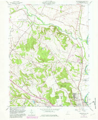
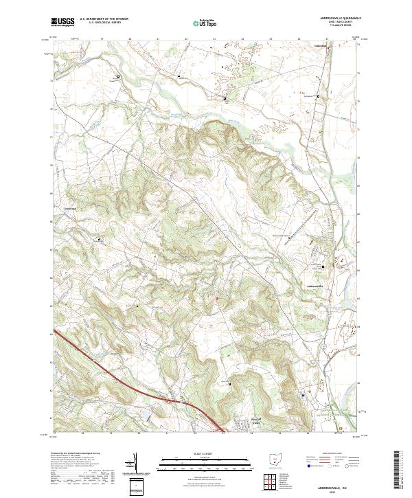
Hopewell Culture National Historical Park anchors the southeastern corner of this Ross County landscape, where the Scioto River flows southward. The terrain is defined by a dense network of tributaries including Deer Creek, Waugh Run, and Mad Run, which cut through the hills surrounding the small settlements of Andersonville, Greenland, and Yellowbud. This region is particularly rich for genealogical research, documenting numerous rural burial grounds such as Browns Chapel Cem, Minear Cem, Noble Cem, and Bowdle Cem. The presence of the Ross County Airport and the transition from river bottomlands to higher ridges shows a modern landscape still deeply tied to its historical boundaries and original land tracts, which are marked by various township and range lines.
Find a feature on this map
73 named features on this map. Tap any name to fly to it.
Don’t see what you’re looking for? This feature index may not catch every label — zoom into the map to look around manually.
Map Details
Editions of this 2023 Andersonville Map
This is the sole edition of this map. No revisions or reprints were ever made.