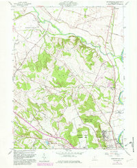
1961 Map of Andersonville
USGS Topo · Published 1982About this map
Ancient earthworks and modern institutions meet along the Scioto River in this 1961 record of Ross County. The landscape is anchored by the Mound City Group National Monument, preserving significant Hopewell culture Indian Mounds just north of the Chillicothe Correctional Institute. This juxtaposition of prehistoric heritage with mid-century state and federal infrastructure, including the expansive V A Hospital, defines the southern portion of the map.
Find a feature on this map
54 named features on this map. Tap any name to fly to it.
Don’t see what you’re looking for? This feature index may not catch every label — zoom into the map to look around manually.
Map Details
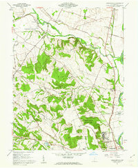
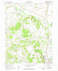
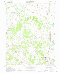
Editions of this 1961 Andersonville Map
4 editions found
Other maps of this area

1906 · Chillicothe
USGS Topo · 1:62,500

1908 · Chillicothe
USGS Topo · 1:62,500

1911 · Era
USGS Topo · 1:62,500

1912 · Roxabell
USGS Topo · 1:62,500

1913 · Era
USGS Topo · 1:62,500

1914 · Roxabell
USGS Topo · 1:62,500

1914 · Circleville
USGS Topo · 1:62,500

1943 · Era
USGS Topo · 1:62,500

1943 · Circleville
USGS Topo · 1:62,500

1944 · Roxabell
USGS Topo · 1:62,500