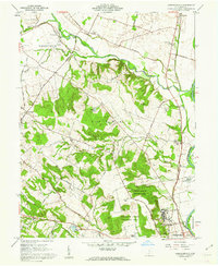
1961 Map of Andersonville
USGS Topo · Published 1962About this map
Ancient earthworks and modern institutions sit side-by-side in this Ross County landscape during the early 1960s. The southern reach of the sheet is dominated by the Mound City Group National Monument, preserving a concentration of Hopewell culture Indian Mounds near a sharp bend in the Scioto River. Nearby, the sprawling VA Hospital and the County Fairgrounds represent the mid-century civic footprint of the area.
Find a feature on this map
58 named features on this map. Tap any name to fly to it.
Don’t see what you’re looking for? This feature index may not catch every label — zoom into the map to look around manually.
Map Details
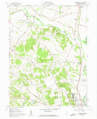
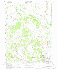
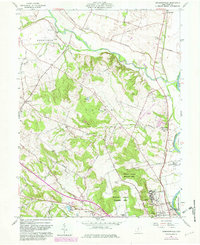
Editions of this 1961 Andersonville Map
4 editions found
Other maps of this area

1906 · Chillicothe
USGS Topo · 1:62,500

1908 · Chillicothe
USGS Topo · 1:62,500

1911 · Era
USGS Topo · 1:62,500

1912 · Roxabell
USGS Topo · 1:62,500

1913 · Era
USGS Topo · 1:62,500

1914 · Roxabell
USGS Topo · 1:62,500

1914 · Circleville
USGS Topo · 1:62,500

1943 · Era
USGS Topo · 1:62,500

1943 · Circleville
USGS Topo · 1:62,500

1944 · Roxabell
USGS Topo · 1:62,500