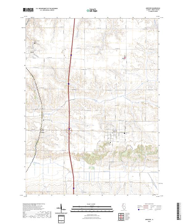
2024 Map of Andover
USGS Topo · Published 2024About this map
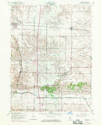
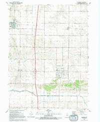
Andover and its surrounding townships in Henry County are defined by a grid of agricultural section lines and the winding course of the Edwards River. This modern survey illustrates the enduring footprint of nineteenth-century settlement, where small village centers like Orion and Lynn Center remain anchored by historical community sites. The map is particularly useful for genealogical research, as it clearly identifies the Andover Township Cem, Orion Lutheran Cem, and the Presbyterian Cem. The landscape is etched by drainage systems including Camp Creek and West Mineral Creek, which dictate the local topography between the straightened county roads. From the settlement at Osco in the northeast to the South Edwards River in the southeast, the map shows a mature rural infrastructure of named roads and established property divisions.
Find a feature on this map
41 named features on this map. Tap any name to fly to it.
Don’t see what you’re looking for? This feature index may not catch every label — zoom into the map to look around manually.
Map Details
Editions of this 2024 Andover Map
This is the sole edition of this map. No revisions or reprints were ever made.