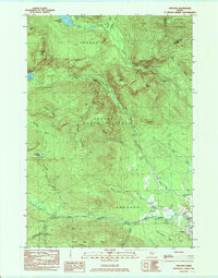
1984 Map of Andover
USGS Topo · Published 1985About this map
Andover sits at the base of a dense mountain system where the West Branch Ellis River emerges from the high country of Western Maine. The landscape is defined by its topographic extremes, from the high peaks of Wyman Mountain and Old Blue Mtn to the narrow passages of Sawyer Notch and Black Brook Notch. This 1980s survey shows the Appalachian Trail winding through the high ridgelines of Andover North Surplus, passing near the Hall Mtn Lean-to. Water is a dominant theme, with the rugged waterfalls of The Cataracts on the West Branch and isolated bodies of water like C Pond and Lower Richardson Pond in the northern townships. The presence of a Gravel Pit near the river and the network of logging roads through Township C and C Surplus reflect the local economy's reliance on the surrounding timberlands.
Find a feature on this map
41 named features on this map. Tap any name to fly to it.
Don’t see what you’re looking for? This feature index may not catch every label — zoom into the map to look around manually.
Map Details
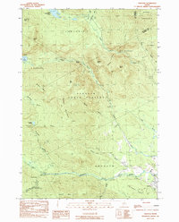
Editions of this 1984 Andover Map
2 editions found
Other maps of this area

1927 · Rumford
USGS Topo · 1:48,000

1930 · Rumford
USGS Topo · 1:62,500

1933 · Rangeley
USGS Topo · 1:48,000

1939 · Rangeley
USGS Topo · 1:62,500

1940 · Oquossoc
USGS Topo · 1:62,500

1942 · Oquossoc
USGS Topo · 1:62,500

1943 · Old Speck Mtn
USGS Topo · 1:62,500

1945 · Old Speck Mtn
USGS Topo · 1:62,500

1949 · Rangeley
USGS Topo · 1:62,500

1950 · Lewiston
USGS Topo · 1:250,000
Featured Places
- Andover, ME
- Byron, ME
- Andover North Surplus Township, ME
- Andover West Surplus Township, ME
- Township C, ME