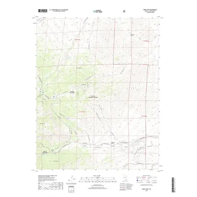
2018 Map of Angel Peak
USGS Topo · Published 2018About this map
Angel Peak rises above the high-elevation terrain of the Toiyabe National Forest in this 2018 survey of Clark County. The landscape is defined by its water sources and rugged transit corridors, featuring named springs like Lower Deer Creek Spring, Sidehill Spring, and Two Spring that have historically sustained life in the arid Mojave Desert. This modern record details the intricate network of forest and mountain roads, including the Lucky Strike Mine Road and Telephone Canyon Road, which provide access to high-altitude landmarks such as Fletcher Peak and Mount Charleston. The map documents a blend of utility and recreation, noting infrastructure like the Wooden Pole Power Line Road alongside recreational sites like Desert View Point and the Blue Tree Loop.
Find a feature on this map
45 named features on this map. Tap any name to fly to it.
Don’t see what you’re looking for? This feature index may not catch every label — zoom into the map to look around manually.
Map Details
Editions of this 2018 Angel Peak Map
This is the sole edition of this map. No revisions or reprints were ever made.
Other maps of this area

1907 · Las Vegas
USGS Topo · 1:250,000

1908 · Las Vegas
USGS Topo · 1:250,000

1952 · Corn Creek Springs
USGS Topo · 1:62,500

1952 · Blue Diamond
USGS Topo · 1:62,500

1954 · Las Vegas
USGS Topo · 1:250,000

1957 · Las Vegas
USGS Topo · 1:250,000

1957 · Charleston Peak
USGS Topo · 1:62,500

1957 · Mountain Springs
USGS Topo · 1:62,500

1959 · Las Vegas
USGS Topo · 1:250,000

1962 · Las Vegas
USGS Topo · 1:250,000