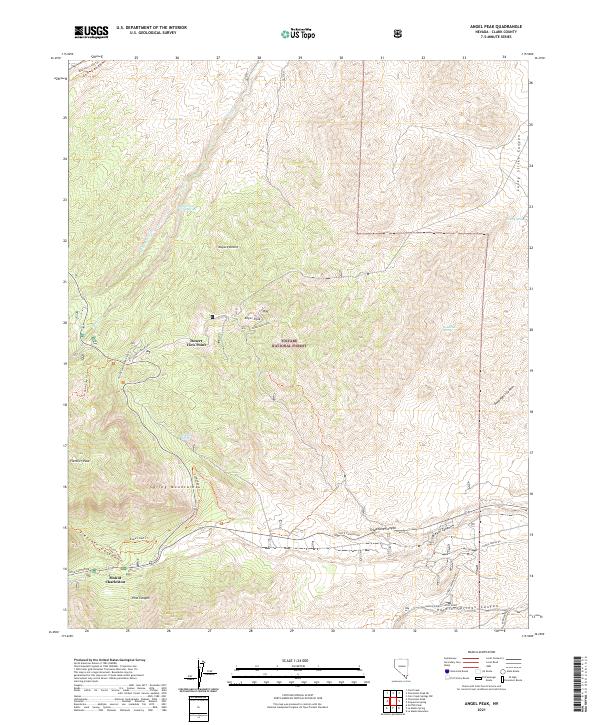
2021 Map of Angel Peak
USGS Topo · Published 2021About this map
Mount Charleston serves as a primary point of reference in this high-altitude landscape within the Toiyabe National Forest. The map documents a rugged transition from the Mojave Desert floor into the dramatic verticality of the Spring Mountains. High peaks such as Angel Peak and Fletcher Peak are connected by a network of hiking trails and forest roads, including the Stepladder Trl and the road to Desert View Point. Several vital water sources are charted across the arid terrain, including Lower Deer Creek Spring and Sidehill Spring, which have long been essential for both wildlife and travelers. Significant drainage systems like Kyle Canyon and Fletcher Canyon illustrate the complex topography that defines this portion of Clark County.
Find a feature on this map
38 named features on this map. Tap any name to fly to it.
Don’t see what you’re looking for? This feature index may not catch every label — zoom into the map to look around manually.
Map Details
Editions of this 2021 Angel Peak Map
This is the sole edition of this map. No revisions or reprints were ever made.
Other maps of this area

1907 · Las Vegas
USGS Topo · 1:250,000

1908 · Las Vegas
USGS Topo · 1:250,000

1952 · Corn Creek Springs
USGS Topo · 1:62,500

1952 · Blue Diamond
USGS Topo · 1:62,500

1954 · Las Vegas
USGS Topo · 1:250,000

1957 · Las Vegas
USGS Topo · 1:250,000

1957 · Charleston Peak
USGS Topo · 1:62,500

1957 · Mountain Springs
USGS Topo · 1:62,500

1959 · Las Vegas
USGS Topo · 1:250,000

1962 · Las Vegas
USGS Topo · 1:250,000