1930 Map of Angle
USGS Topo · Published 1930About this map
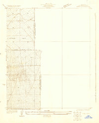
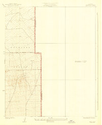
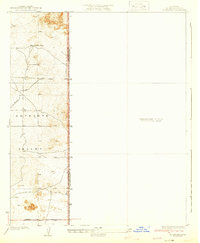
Antelope Valley transitions from the High Desert floor toward the foothills of the San Gabriel range in this early 1930s survey. The landscape is defined by the survey lines of the First Standard Parallel North, reflecting the precise cadastral work required for land allotment in this portion of California. The presence of a lone Well in the center of the sheet indicates the critical importance of water infrastructure in an arid environment otherwise dominated by natural drainage contours. Along the southern boundary, the Palmdale-Victorville Road serves as the primary corridor for regional travel, marking the early transportation network connecting the Mojave’s expanding communities. This map documents a sparsely settled era when the boundary between Los Angeles County and San Bernardino County remained the primary human-imposed feature on an open landscape.
Find a feature on this map
5 named features on this map. Tap any name to fly to it.
Don’t see what you’re looking for? This feature index may not catch every label — zoom into the map to look around manually.
Map Details
Editions of this 1930 Angle Map
This is the sole edition of this map. No revisions or reprints were ever made.
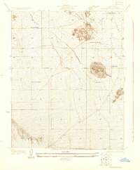
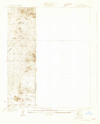
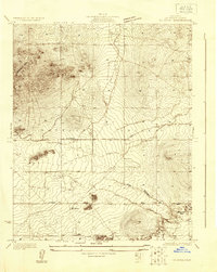
Other maps of this area

1901 · Southern California Sheet No. 1
USGS Topo · 1:250,000

1903 · San Antonio
USGS Topo · 1:62,500

1904 · Southern California Sheet No. 1
USGS Topo · 1:250,000
1930 · Black Butte
USGS Topo · 1:24,000
1930 · El Mirage
USGS Topo · 1:24,000
1930 · Wilsona
USGS Topo · 1:24,000
1932 · Angle
USGS Topo · 1:24,000
1933 · El Mirage
USGS Topo · 1:24,000
1933 · Black Butte
USGS Topo · 1:24,000
1934 · Mescal Creek
USGS Topo · 1:24,000