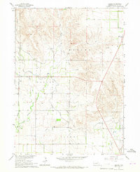
1965 Map of Angora
USGS Topo · Published 1967About this map
Agricultural development in the Nebraska Panhandle is defined by an intricate network of irrigation systems and railroads, as seen in this mid-1960s study of Morrill County. The Tri-State Canal, Lowline Canal, and Northport Canal cut across the landscape, managing water from drainages like Red Willow Creek and West Water Creek. Numerous siphons facilitate this engineered water movement through the varied terrain of Haynes and Yockey.
Find a feature on this map
21 named features on this map. Tap any name to fly to it.
Don’t see what you’re looking for? This feature index may not catch every label — zoom into the map to look around manually.
Map Details
Editions of this 1965 Angora Map
This is the sole edition of this map. No revisions or reprints were ever made.
Other maps of this area

1898 · Camp Clarke
USGS Topo · 1:125,000

1954 · Scottsbluff
USGS Topo · 1:250,000

1958 · Scottsbluff
USGS Topo · 1:250,000

1965 · Bayard
USGS Topo · 1:24,000

1965 · Bridgeport NW
USGS Topo · 1:24,000
1965 · Bayard NE
USGS Topo · 1:24,000

1965 · Angora SE
USGS Topo · 1:24,000

1965 · South Bayard
USGS Topo · 1:24,000
1965 · Angora NE
USGS Topo · 1:24,000
1965 · Angora NW
USGS Topo · 1:24,000