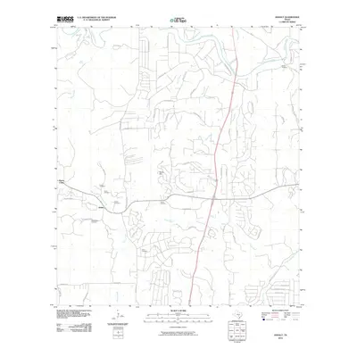
2010 Map of Anhalt
USGS Topo · Published 2010About this map
Anhalt and the surrounding Hill Country terrain are captured here in 2010, revealing a landscape where family ranching heritage and modern residential development meet. The area is dense with genealogical markers, including numerous small burial grounds such as Beierle Cemetery, Krause Cemetery, and Kabelmacher Cemetery. These sites are scattered among established holdings like Mays Ranch and Shepherds Ranch, providing a window into the settlement patterns of Comal County families.
Find a feature on this map
73 named features on this map. Tap any name to fly to it.
Don’t see what you’re looking for? This feature index may not catch every label — zoom into the map to look around manually.
Map Details
Editions of this 2010 Anhalt Map
This is the sole edition of this map. No revisions or reprints were ever made.
Other maps of this area

1920 · Smithsons Valley
USGS Topo · 1:62,500

1925 · Smithson Valley No. 1
USGS Topo · 1:48,000

1927 · Smithson Valley
USGS Topo · 1:62,500

1929 · Smithson Valley
USGS Topo · 1:62,500

1940 · Smithson Valley
USGS Topo · 1:62,500

1953 · Otis Ridge
USGS Topo · 1:24,000

1953 · Bulverde
USGS Topo · 1:24,000

1953 · Bat Cave
USGS Topo · 1:24,000

1954 · San Antonio
USGS Topo · 1:250,000

1957 · Boerne
USGS Topo · 1:62,500