
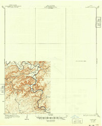
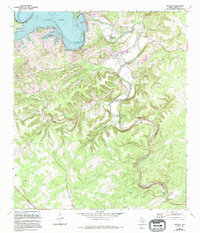
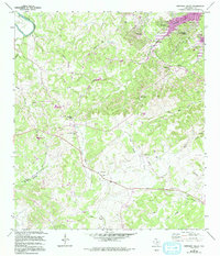
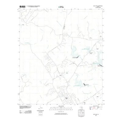
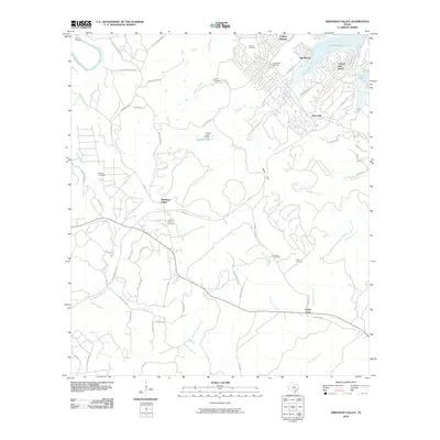
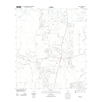
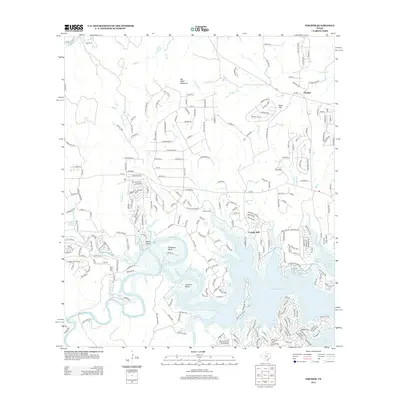
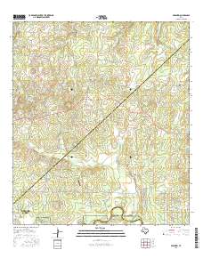
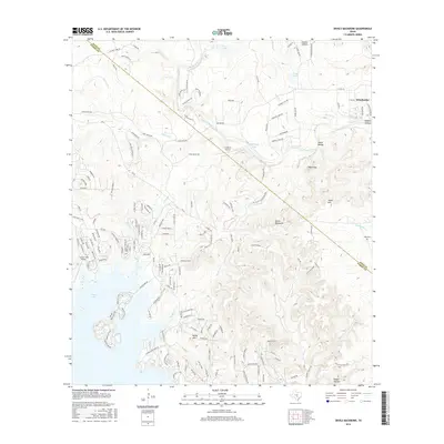
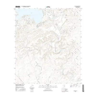
1929 Map of Smithson Valley
USGS Topo · Published 1958About this map
The Guadalupe River snakes through the center of this Hill Country landscape, defining a series of tight river loops including Demijohn Bend, Smiths Bend, and Cordova Bend. Surveyed in the late 1920s, the map reveals a sparsely populated ranching and farming region where rural education was localized in small campuses like Martin School, Rebecca Creek School, and Ullnau School. The presence of Farmers Hall near Anhalt and Fischer Store in the northeast corner points to the vital social and commercial hubs of these German-Texan communities.
Find a feature on this map
46 named features on this map. Tap any name to fly to it.
Don’t see what you’re looking for? This feature index may not catch every label — zoom into the map to look around manually.
Map Details
Editions of this 1929 Smithson Valley Map
This is the sole edition of this map. No revisions or reprints were ever made.
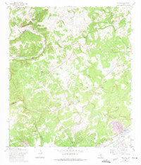
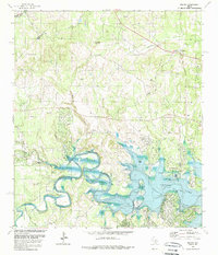
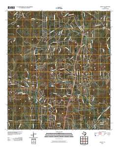
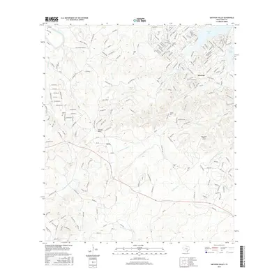
Historical Maps of Bulverde Through Time
66 maps found

1920 Smithsons Valley
Comal County, TX

1925 Hunter No 3
Comal County, TX

1925 Smithson Valley No. 1
Comal County, TX

1927 Smithson Valley
Comal County, TX
1929 Hunter
Comal County, TX
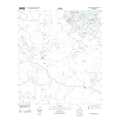
1929 Smithson Valley
Comal County, TX

1940 Smithson Valley
Comal County, TX

1953 Bat Cave
Comal County, TX
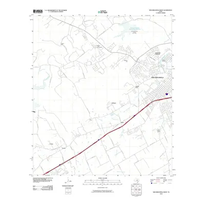
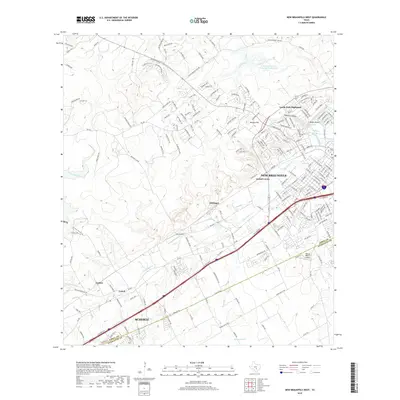
1958 New Braunfels West
Comal County, TX
1963 Devils Backbone
Comal County, TX
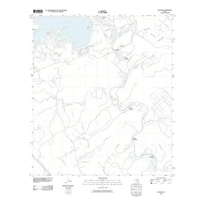
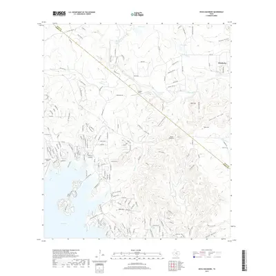
1963 Fischer
Comal County, TX
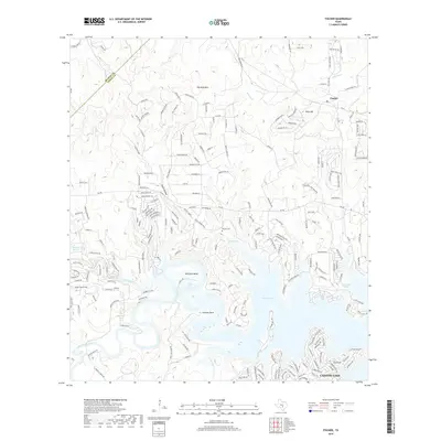
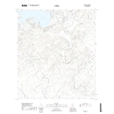
1963 Sattler
Comal County, TX
1964 Anhalt
Comal County, TX
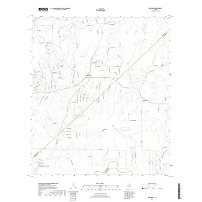
1964 Bergheim
Comal County, TX
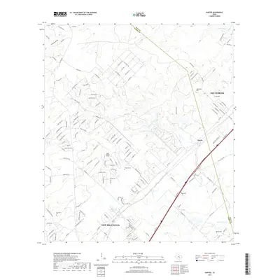
1964 Hunter
Comal County, TX
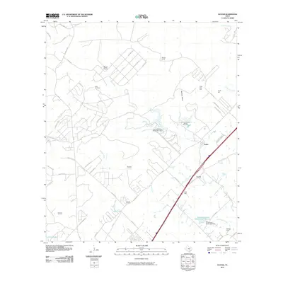
1964 Smithson Valley
Comal County, TX
1967 Bat Cave
Comal County, TX

1988 Bat Cave
Comal County, TX

1988 New Braunfels West
Comal County, TX

1989 Devils Backbone
Comal County, TX
1989 Fischer
Comal County, TX
2010 Anhalt
Comal County, TX
2010 Bat Cave
Comal County, TX
2010 Bergheim
Comal County, TX
2010 Devils Backbone
Comal County, TX
2010 Fischer
Comal County, TX
2010 Hunter
Comal County, TX
2010 New Braunfels West
Comal County, TX
2010 Sattler
Comal County, TX
2010 Smithson Valley
Comal County, TX
2013 Anhalt
Comal County, TX
2013 Bat Cave
Comal County, TX
2013 Bergheim
Comal County, TX
2013 Devils Backbone
Comal County, TX
2013 Fischer
Comal County, TX
2013 Hunter
Comal County, TX
2013 New Braunfels West
Comal County, TX
2013 Sattler
Comal County, TX
2013 Smithson Valley
Comal County, TX
2016 Anhalt
Comal County, TX
2016 Bat Cave
Comal County, TX
2016 Bergheim
Comal County, TX
2016 Devils Backbone
Comal County, TX
2016 Fischer
Comal County, TX
2016 Hunter
Comal County, TX
2016 New Braunfels West
Comal County, TX
2016 Sattler
Comal County, TX
2016 Smithson Valley
Comal County, TX
2019 Anhalt
Comal County, TX
2019 Bat Cave
Comal County, TX
2019 Bergheim
Comal County, TX
2019 Devils Backbone
Comal County, TX
2019 Fischer
Comal County, TX
2019 Hunter
Comal County, TX
2019 New Braunfels West
Comal County, TX
2019 Sattler
Comal County, TX
2019 Smithson Valley
Comal County, TX
2022 Anhalt
Comal County, TX
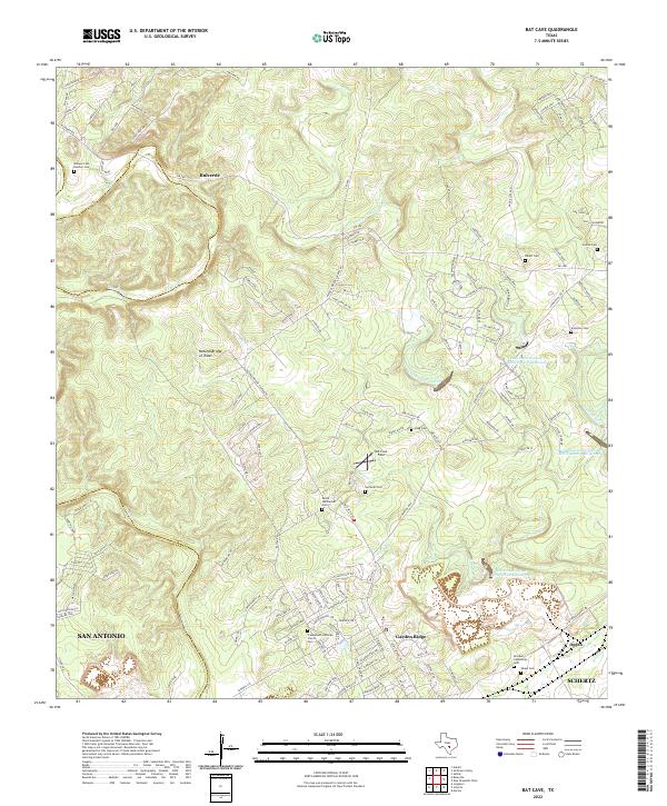
2022 Bat Cave
Comal County, TX

2022 Bergheim
Comal County, TX
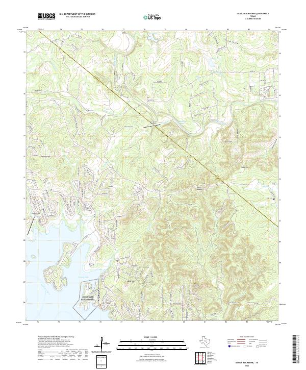
2022 Devils Backbone
Comal County, TX
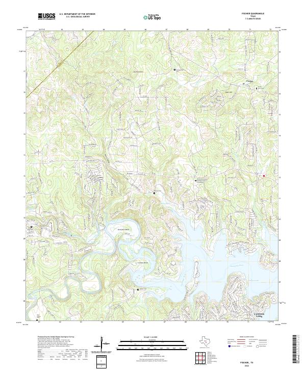
2022 Fischer
Comal County, TX
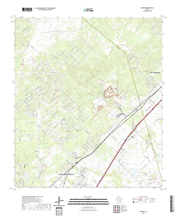
2022 Hunter
Comal County, TX
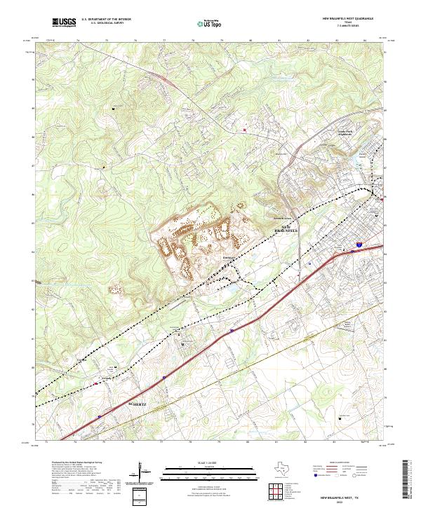
2022 New Braunfels West
Comal County, TX
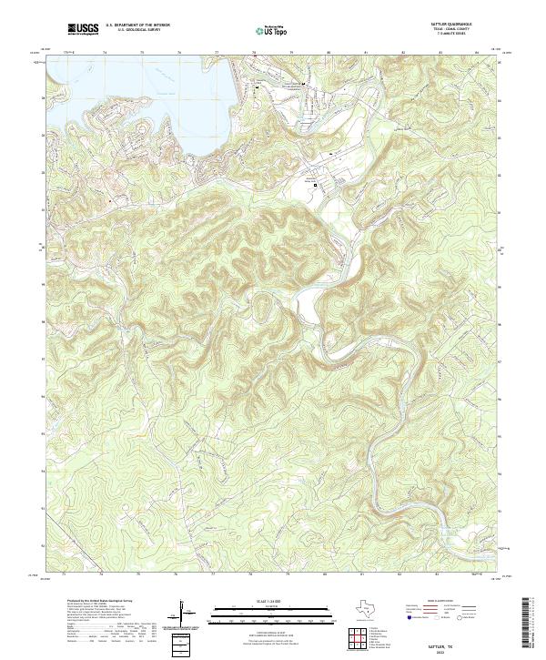
2022 Sattler
Comal County, TX
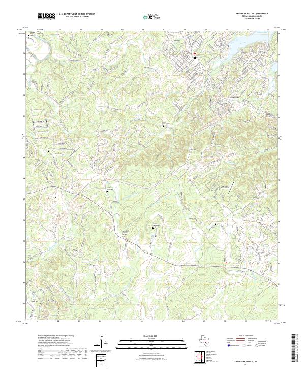
2022 Smithson Valley
Comal County, TX