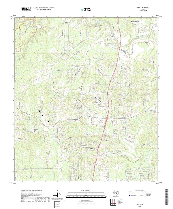
2022 Map of Anhalt
USGS Topo · Published 2022About this map
Bulverde and the surrounding Comal County landscape are characterized by a dense network of family heritage sites, evidenced by the numerous small burial grounds scattered throughout the hills. Historically significant plots such as the Specht Cem, Krause Cem, and Johann Georg Cem anchor the map, offering critical points of reference for genealogists tracing early Central Texas settlement patterns. The terrain is bisected by the Us-281 corridor, which bridges the transition between suburban development and the more natural riparian zones of the Guadalupe River and Cypress Cr. To the north, the Guadalupe River winds through the limestone country near Spring Branch, while technical landmarks like the Kestrel Airpark and numerous named springs, including Beek Spring and Brent Spring, reflect the local reliance on both modern aviation and traditional water sources in this part of the Hill Country.
Find a feature on this map
42 named features on this map. Tap any name to fly to it.
Don’t see what you’re looking for? This feature index may not catch every label — zoom into the map to look around manually.
Map Details
Editions of this 2022 Anhalt Map
This is the sole edition of this map. No revisions or reprints were ever made.
Other maps of this area

1920 · Smithsons Valley
USGS Topo · 1:62,500

1925 · Smithson Valley No. 1
USGS Topo · 1:48,000

1927 · Smithson Valley
USGS Topo · 1:62,500

1929 · Smithson Valley
USGS Topo · 1:62,500

1940 · Smithson Valley
USGS Topo · 1:62,500

1953 · Otis Ridge
USGS Topo · 1:24,000

1953 · Bulverde
USGS Topo · 1:24,000

1953 · Bat Cave
USGS Topo · 1:24,000

1954 · San Antonio
USGS Topo · 1:250,000

1957 · Boerne
USGS Topo · 1:62,500