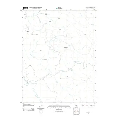
2012 Map of Annapolis
USGS Topo · Published 2012About this map
Annapolis sits on the western edge of this Sonoma County landscape, where the Wheatfield Fork Gualala River and the S Fork Gualala River carve through a network of steep ridgelines. The settlement pattern here is defined by family ranching and small cemeteries, including Annapolis Church Cem and Sugarloaf Cem. Topographic features like Fuller Mountain, School Ridge, and Burnt Knoll Ridge dominate the terrain, separated by numerous creeks such as Grasshopper Cr and Buckeye Cr. Infrastructure is tied closely to the topography, with Annapolis Rd and Stewarts Point-Skaggs Springs Rd navigating the high ground and river crossings like Clarks Crossing and the Clipper Mill Bridge connecting isolated holdings. Several named ranch sites, such as Evans Ranch and Noble Ranch, indicate the enduring agricultural character of this coastal upland region.
Find a feature on this map
41 named features on this map. Tap any name to fly to it.
Don’t see what you’re looking for? This feature index may not catch every label — zoom into the map to look around manually.
Map Details
Editions of this 2012 Annapolis Map
This is the sole edition of this map. No revisions or reprints were ever made.
Other maps of this area

1921 · Skaggs
USGS Topo · 1:62,500

1921 · Plantation
USGS Topo · 1:62,500

1938 · Hopland
USGS Topo · 1:62,500

1943 · Tombs Creek
USGS Topo · 1:24,000

1943 · Stewarts Point
USGS Topo · 1:24,000

1943 · Plantation
USGS Topo · 1:24,000

1943 · Annapolis
USGS Topo · 1:24,000

1943 · Fort Ross
USGS Topo · 1:24,000

1943 · Hopland
USGS Topo · 1:62,500

1943 · Ornbaun
USGS Topo · 1:62,500