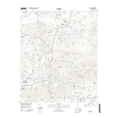
2014 Map of Anniston
USGS Topo · Published 2014About this map
Anniston serves as the focal point for this 2014 survey, illustrating a landscape where industrial infrastructure and residential growth press against the ridges of the Baltzell Mountains and Skeleton Mountains. The map provides significant genealogical value through its marking of local burial grounds, including the Prisoner of War Cem and Westview Gardens Cem. The transition from the urban core to surrounding communities like Weaver, Oxford, and the historic Hobson City is clearly defined, showing the expansion of neighborhoods into the foothills.
Find a feature on this map
148 named features on this map. Tap any name to fly to it.
Don’t see what you’re looking for? This feature index may not catch every label — zoom into the map to look around manually.
Map Details
Editions of this 2014 Anniston Map
This is the sole edition of this map. No revisions or reprints were ever made.
Other maps of this area

1900 · Anniston
USGS Topo · 1:125,000

1947 · Oxford
USGS Topo · 1:24,000

1947 · Anniston
USGS Topo · 1:24,000

1947 · Jacksonville
USGS Topo · 1:24,000

1947 · Wellington
USGS Topo · 1:24,000

1947 · Jacksonville
USGS Topo · 1:62,500

1947 · Eulaton
USGS Topo · 1:24,000

1947 · Munford
USGS Topo · 1:24,000

1950 · Anniston
USGS Topo · 1:62,500

1953 · Atlanta
USGS Topo · 1:250,000