
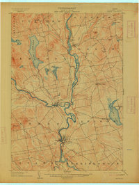
1904 Map of Anson
USGS Topo · Published 1904About this map
The Kennebec River serves as the central artery for this part of Somerset County, where the industrial and social life of the early 1900s centered around the falls and river junctions. The twin settlements of Anson and Madison dominate the southern portion of the sheet, connected by the river and the S. R. R. rail line. Further north, the power of the water is evident at Carritunk Falls near Solon.
Find a feature on this map
48 named features on this map. Tap any name to fly to it.
Don’t see what you’re looking for? This feature index may not catch every label — zoom into the map to look around manually.
Map Details
Editions of this 1904 Anson Map
4 editions found
Other maps of this area

1892 · Waterville
USGS Topo · 1:62,500

1894 · Norridgewock
USGS Topo · 1:62,500

1898 · Norridgewock
USGS Topo · 1:62,500

1903 · Bingham
USGS Topo · 1:62,500

1905 · Bingham
USGS Topo · 1:62,500

1913 · Skowhegan
USGS Topo · 1:62,500

1924 · Farmington
USGS Topo · 1:62,500

1928 · Dead River
USGS Topo · 1:62,500

1930 · Kingfield
USGS Topo · 1:48,000

1931 · Dead River
USGS Topo · 1:48,000