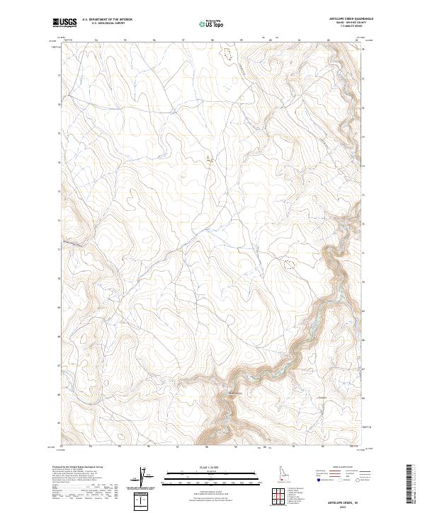
2023 Map of Antelope Creek
USGS Topo · Published 2023About this map
J-P Desert characterizes this high-desert landscape in Owyhee County, where deep drainage systems and arid plateaus define the topography. The terrain is marked by significant features like the steep-walled Black Canyon and the winding Broken Wagon Draw, reflecting the erosional forces at work in this part of Idaho. Water is a scarce but critical element, represented by the ephemeral courses of Sheep Creek and Cat Creek, which cut through the underlying geological strata.
Find a feature on this map
12 named features on this map. Tap any name to fly to it.
Don’t see what you’re looking for? This feature index may not catch every label — zoom into the map to look around manually.
Map Details
Editions of this 2023 Antelope Creek Map
This is the sole edition of this map. No revisions or reprints were ever made.
Other maps of this area

1955 · Twin Falls
USGS Topo · 1:250,000

1958 · Twin Falls
USGS Topo · 1:250,000
1979 · Antelope Creek
USGS Topo · 1:24,000

1979 · Indian Hot Springs
USGS Topo · 1:24,000
1979 · Indian Hay Meadows
USGS Topo · 1:24,000
1979 · Triguero Lake
USGS Topo · 1:24,000
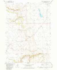
1979 · Grasmere Reservoir
USGS Topo · 1:24,000
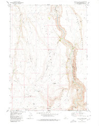
1979 · Triplet Butte
USGS Topo · 1:24,000
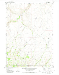
1979 · Black Leg Creek
USGS Topo · 1:24,000
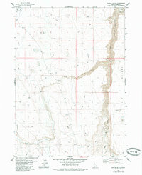
1979 · Buster Butte
USGS Topo · 1:24,000