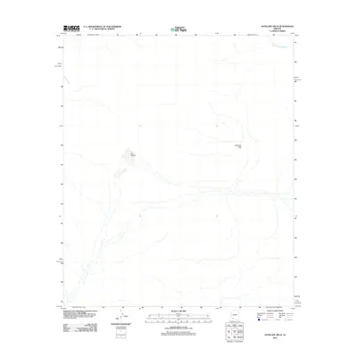
2011 Map of Antelope Hills
USGS Topo · Published 2011About this map
Dos Playas provides a rare point of topographical interest in this arid expanse of Pima County, appearing as distinctive depressions in a landscape defined by ephemeral drainage patterns. The ephemeral San Cristobal Wash cuts across the northern reaches of the quadrangle, illustrating the complex desert hydrology where water only flows during significant rain events. Rising above the desert floor, the Antelope Hills serve as the primary landmark for this section of the Arizona backcountry. This 2011 survey by the U.S. Geological Survey details a sparsely developed region where natural desert landforms remain the dominant features, offering a clear view of the native terrain and watercourses before potential modern alteration.
Find a feature on this map
3 named features on this map. Tap any name to fly to it.
Don’t see what you’re looking for? This feature index may not catch every label — zoom into the map to look around manually.
Map Details
Editions of this 2011 Antelope Hills Map
This is the sole edition of this map. No revisions or reprints were ever made.
Other maps of this area

1953 · Ajo
USGS Topo · 1:250,000

1957 · Ajo
USGS Topo · 1:250,000

1958 · Ajo
USGS Topo · 1:250,000

1962 · Ajo
USGS Topo · 1:250,000

1963 · Ajo
USGS Topo · 1:250,000

1964 · Growler Peak
USGS Topo · 1:62,500
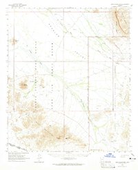
1964 · Agua Dulce Mts
USGS Topo · 1:62,500

1965 · O'Neill Hills
USGS Topo · 1:62,500

1965 · Granite Mountains
USGS Topo · 1:62,500

1967 · Ajo
USGS Topo · 1:250,000