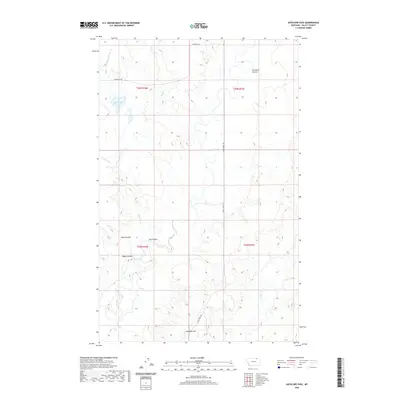
2020 Map of Antelope Pass
USGS Topo · Published 2020About this map
Antelope Pass anchors this 2020 landscape in Valley County, Montana, where the terrain is defined by a network of seasonal drainages and coulees. The map highlights the high plains character of the region, featuring Lake Gable and the intricate flow of Upper Ichpair Cr and Bluff Cr. This is a landscape shaped by water erosion, as seen in the deep incisions of Starbuck Coulee, Harry Coulee, and Riggin Coulee, which create a complex topographical pattern typical of the Missouri River country drainage system.
Find a feature on this map
18 named features on this map. Tap any name to fly to it.
Don’t see what you’re looking for? This feature index may not catch every label — zoom into the map to look around manually.
Map Details
Editions of this 2020 Antelope Pass Map
This is the sole edition of this map. No revisions or reprints were ever made.
Other maps of this area

1919 · Boundary
USGS Topo · 1:125,000

1954 · Glasgow
USGS Topo · 1:250,000

1957 · Glasgow
USGS Topo · 1:250,000

1958 · Glasgow
USGS Topo · 1:250,000

1984 · Lighthouse Hill
USGS Topo · 1:24,000

1984 · Snake Creek School
USGS Topo · 1:24,000

1984 · Black Calf Reservoir
USGS Topo · 1:24,000

1984 · Opheim
USGS Topo · 1:100,000

1984 · Gay Dam
USGS Topo · 1:24,000

1984 · Last Chance Reservoir
USGS Topo · 1:24,000