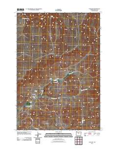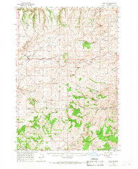
1966 Map of Antelope
USGS Topo · Published 1968About this map
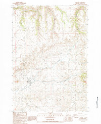
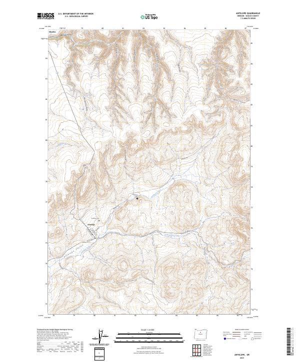
The high desert landscape of Shaniko and Antelope is defined by deep drainages and volcanic buttes in this mid-1960s survey. As the boundary between Wasco and Jefferson counties winds through the terrain, the map reveals a history of extraction and ranching. Mining operations are concentrated in the south, including the Oregon King Mine, Ruby Mine, and Queen Oregon Mines. These sites, along with the isolated Donnybrook settlement, indicate a regional economy built on the geology of the area.
Find a feature on this map
60 named features on this map. Tap any name to fly to it.
Don’t see what you’re looking for? This feature index may not catch every label — zoom into the map to look around manually.
Map Details
Editions of this 1966 Antelope Map
This is the sole edition of this map. No revisions or reprints were ever made.
Historical Maps of Antelope Through Time
7 maps found