2022 Map of Anthony
USGS Topo · Published 2022About this map
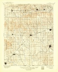
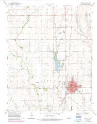
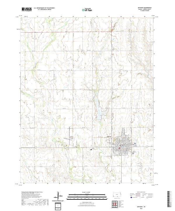
Anthony serves as the focal point of this Harper County survey, anchored by the Harper County Courthouse at the heart of its residential grid. The town's layout is defined by a traditional street network, including thoroughfares such as W Main St and W Grant St, which lead toward the outskirts where the Anthony Municipal Airport and the waters of Spring Creek intersect. The surrounding agricultural landscape is etched by a series of waterways, notably Bluff Cr and Rush Cr, which drain the open country. Local history is preserved at the Spring Grove Cem west of town and the Forest Park Cem to the east, offering specific points of interest for genealogists tracing family roots in this corner of Kansas.
Find a feature on this map
40 named features on this map. Tap any name to fly to it.
Don’t see what you’re looking for? This feature index may not catch every label — zoom into the map to look around manually.
Map Details
Editions of this 2022 Anthony Map
This is the sole edition of this map. No revisions or reprints were ever made.
Historical Maps of Harper County Through Time
4 maps found