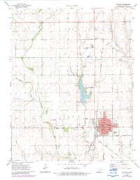
1972 Map of Anthony
USGS Topo · Published 1983About this map
The railroad junction at Anthony serves as the focal point of this Harper County survey, where the Atchison Topeka and Santa Fe and Missouri Pacific lines converge. This 1970s landscape reveals a well-developed civic infrastructure, featuring a concentrated residential grid dotted with local institutions like Lincoln School, Washington School, and the Washington Annex. To the north, the Anthony Municipal Lake and Park provides a major geographic landmark, surrounded by evidence of mid-century leisure and utility, including a Drive-in Theater and a Country Club.
Find a feature on this map
27 named features on this map. Tap any name to fly to it.
Don’t see what you’re looking for? This feature index may not catch every label — zoom into the map to look around manually.
Map Details
Editions of this 1972 Anthony Map
2 editions found
Other maps of this area

1889 · Anthony
USGS Topo · 1:125,000

1889 · Caldwell
USGS Topo · 1:125,000

1891 · Anthony
USGS Topo · 1:125,000

1893 · Caldwell
USGS Topo · 1:125,000

1897 · Caldwell
USGS Topo · 1:125,000

1955 · Wichita
USGS Topo · 1:250,000

1955 · Pratt
USGS Topo · 1:250,000

1958 · Wichita
USGS Topo · 1:250,000

1959 · Pratt
USGS Topo · 1:250,000
1971 · Bluff City West
USGS Topo · 1:24,000