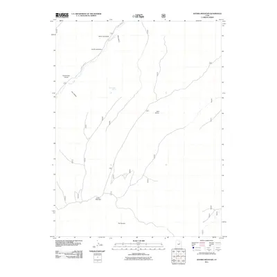
2011 Map of Anthro Mountain
USGS Topo · Published 2011About this map
Anthro Mountain dominates this portion of the Uinta Basin, defining a landscape carved by a network of drainage hollows and high-elevation springs. This 2011 survey reveals a rugged geography where Sowers Creek and Sowers Canyon Rd provide the primary corridor through the western terrain. The map serves as a detailed record of water sources in this arid environment, pinpointing Mine Hollow Spring and Nutters Spring, which have long been vital markers for ranching and travel. These points of interest, along with distinctively named landforms like The Squeeze and Quitchampau Canyon, offer a clear picture of the area's physical layout before more modern developments. The nomenclature of the hollows, such as North Lost Hollow and Wolf Hollow, reflects a history of local navigation and land use in Duchesne County.
Find a feature on this map
12 named features on this map. Tap any name to fly to it.
Don’t see what you’re looking for? This feature index may not catch every label — zoom into the map to look around manually.
Map Details
Editions of this 2011 Anthro Mountain Map
This is the sole edition of this map. No revisions or reprints were ever made.
Other maps of this area

1885 · Uinta
USGS Topo · 1:250,000

1886 · Price River
USGS Topo · 1:250,000

1896 · Price River
USGS Topo · 1:250,000

1939 · Duchesne
USGS Topo · 1:125,000

1954 · Salt Lake City
USGS Topo · 1:250,000

1956 · Price
USGS Topo · 1:250,000

1958 · Salt Lake City
USGS Topo · 1:250,000

1960 · Salt Lake City
USGS Topo · 1:250,000

1960 · Price
USGS Topo · 1:250,000

1962 · Price
USGS Topo · 1:250,000