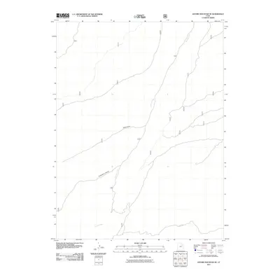
2011 Map of Anthro Mountain NE
USGS Topo · Published 2011About this map
Antelope Creek meanders through this high-altitude landscape in Duchesne County, carving a path through the arid terrain of northeastern Utah. This 2011 survey illustrates a remote region defined by its natural drainage systems and deep geographical depressions, most notably Alkali Canyon and Chokecherry Canyon. The map reveals a network of primitive access routes and forest service roads, including 154 and 333, which navigate the varying elevations. This specific quadrangle captures the transition from high ridgelines to the deep canyon floors, providing an essential record of the hydraulic patterns and land management infrastructure within the Uintah Basin region at the start of the 21st century.
Find a feature on this map
14 named features on this map. Tap any name to fly to it.
Don’t see what you’re looking for? This feature index may not catch every label — zoom into the map to look around manually.
Map Details
Editions of this 2011 Anthro Mountain NE Map
This is the sole edition of this map. No revisions or reprints were ever made.
Other maps of this area

1885 · Uinta
USGS Topo · 1:250,000

1886 · Price River
USGS Topo · 1:250,000

1896 · Price River
USGS Topo · 1:250,000

1939 · Duchesne
USGS Topo · 1:125,000

1954 · Salt Lake City
USGS Topo · 1:250,000

1956 · Price
USGS Topo · 1:250,000

1958 · Salt Lake City
USGS Topo · 1:250,000

1960 · Salt Lake City
USGS Topo · 1:250,000

1960 · Price
USGS Topo · 1:250,000

1962 · Price
USGS Topo · 1:250,000