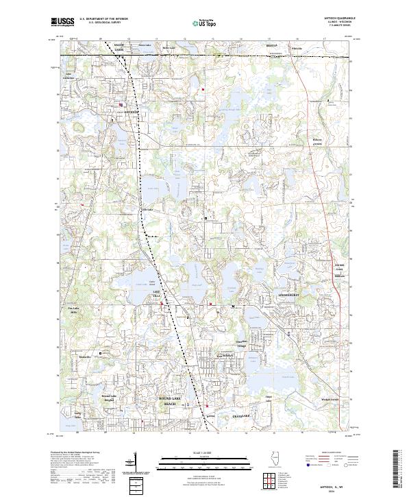
2024 Map of Antioch
USGS Topo · Published 2024About this map
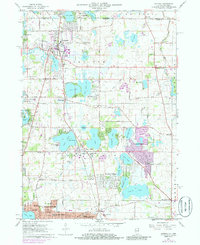
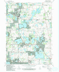
The northern lake country of Illinois, along the Wisconsin-Illinois border, is defined by a dense cluster of glacial water bodies and sprawling residential development. Antioch serves as a primary hub in the north, while the southern portion of the quadrangle is anchored by the growing communities of Lindenhurst, Lake Villa, and Round Lake Beach. The landscape is intricately carved by waterways like Sequoit Creek and the Dutch Gap Canal, which drain the numerous lakes including Deep Lake, Sand Lake, and Loon Lake. Genealogy researchers will find several well-distributed burial grounds, such as Hillside Cem, Hickory Union Cem, and Angola Cem, providing clues to the area’s early rural settlement before the modern suburban expansion. Small hamlets like Old Mill Creek and Millburn reflect the region's agricultural roots amidst the shifting suburban landscape.
Find a feature on this map
88 named features on this map. Tap any name to fly to it.
Don’t see what you’re looking for? This feature index may not catch every label — zoom into the map to look around manually.
Map Details
Editions of this 2024 Antioch Map
This is the sole edition of this map. No revisions or reprints were ever made.