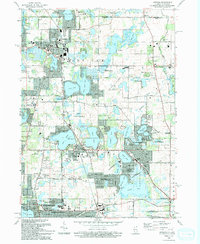
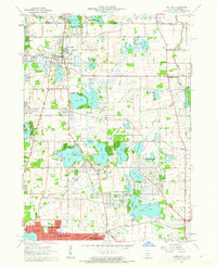
1960 Map of Antioch
USGS Topo · Published 1986About this map
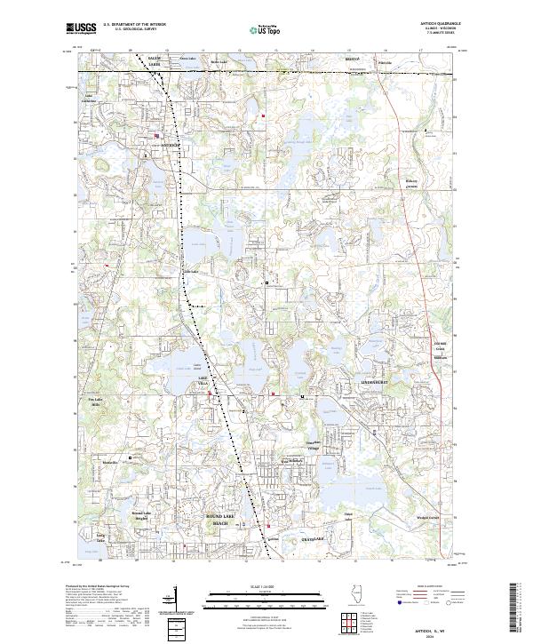
Glacial lakes dominate this landscape along the Illinois and Wisconsin border, defining the development of communities like Antioch and Lake Villa. The mid-century expansion of residential areas is visible in the emergence of Lindenhurst and Venetian Village, while the traditional agricultural and religious character of the region is preserved at St Benedicts Abbey near Benet Lake. Transportation networks are anchored by the Soo Line railroad, which historically linked these lakeside settlements to larger regional markets. Cultural and educational institutions, such as the Allendale Farm Sch and the Childrens Home, appear alongside established landmarks like the Antioch Airport. Small cemeteries, including Hickory Union Cem and Home Oaks Cem, provide valuable points of interest for genealogists tracing early families in the Newport and Antioch townships.
Find a feature on this map
86 named features on this map. Tap any name to fly to it.
Don’t see what you’re looking for? This feature index may not catch every label — zoom into the map to look around manually.
Map Details
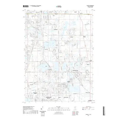
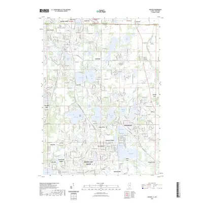
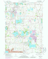
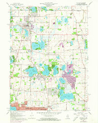
Editions of this 1960 Antioch Map
3 editions found
Historical Maps of Gurnee Through Time
8 maps found