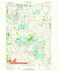
1960 Map of Antioch
USGS Topo · Published 1962About this map
Glacial lakes and suburban expansion define this Lake County landscape at the start of the 1960s. The Soo Line corridor anchors the principal settlements, connecting Antioch in the north to the growing community of Lake Villa and the residential clusters at Round Lake Beach. The map documents a period of transition as traditional agricultural land begins to yield to planned developments like Lindenhurst and Venetian Village, which are situated among a dense network of water bodies including Sand Lake, Cedar Lake, and Fourth Lake.
Find a feature on this map
101 named features on this map. Tap any name to fly to it.
Don’t see what you’re looking for? This feature index may not catch every label — zoom into the map to look around manually.
Map Details
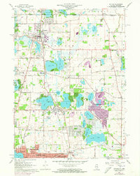
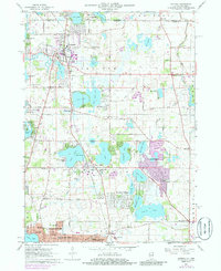
Editions of this 1960 Antioch Map
3 editions found
Other maps of this area

1892 · Racine
USGS Topo · 1:62,500

1893 · Silver Lake
USGS Topo · 1:62,500

1905 · Racine
USGS Topo · 1:62,500

1906 · Silver Lake
USGS Topo · 1:62,500

1906 · Waukegan
USGS Topo · 1:62,500

1908 · Waukegan
USGS Topo · 1:62,500

1920 · Grays Lake
USGS Topo · 1:62,500

1923 · Grays Lake
USGS Topo · 1:62,500

1954 · Rockford
USGS Topo · 1:250,000

1955 · Rockford
USGS Topo · 1:250,000