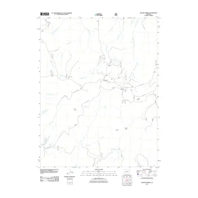
2011 Map of Antone Spring
USGS Topo · Published 2011About this map
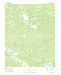
The Uranium Girl Mine and Too High Mine suggest the specialized mineral extraction that has long characterized this high-country landscape. This Colorado terrain is defined by its drainages, where Roubideau Creek and Tabeguache Creek carve through the plateau. Transportation throughout the region is supported by Divide Rd and Transfer Rd, which link the various cattle operations such as Gray Cow Camp and Lazy Y Cow Camp. To the east, the map detail follows the descent into Coal Canyon and State Draw. The presence of several established recreational spots, including Antone Spring Campground and Iron Spring Campground, alongside water sources like Darling Lake and Antone Spring, indicates the area's dual role for industrial use and high-altitude recreation.
Find a feature on this map
37 named features on this map. Tap any name to fly to it.
Don’t see what you’re looking for? This feature index may not catch every label — zoom into the map to look around manually.
Map Details
Editions of this 2011 Antone Spring Map
This is the sole edition of this map. No revisions or reprints were ever made.
Other maps of this area

1956 · Moab
USGS Topo · 1:250,000

1959 · Moab
USGS Topo · 1:250,000

1960 · Moab
USGS Topo · 1:250,000

1962 · Moab
USGS Topo · 1:250,000

1964 · Moab
USGS Topo · 1:250,000
1964 · Norwood
USGS Topo · 1:24,000

1965 · Moab
USGS Topo · 1:250,000
1967 · Hotchkiss Reservoir
USGS Topo · 1:24,000
1967 · Sanborn Park
USGS Topo · 1:24,000
1973 · Ute
USGS Topo · 1:24,000