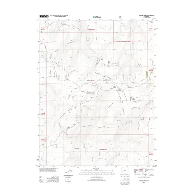
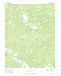
2013 Map of Antone Spring
USGS Topo · Published 2013About this map
Uncompahgre Plateau terrain dominates this 2013 survey of the Uncompahgre National Forest, where a complex network of seasonal creeks and steep-walled canyons defines the land use. The map highlights the high-elevation ranching and recreational heritage of the region, featuring Gray Cow Camp and Lazy Y Cow Camp alongside the Antone Spring Campground.
Find a feature on this map
60 named features on this map. Tap any name to fly to it.
Don’t see what you’re looking for? This feature index may not catch every label — zoom into the map to look around manually.
Map Details
Editions of this 2013 Antone Spring Map
This is the sole edition of this map. No revisions or reprints were ever made.
Other maps of this area

1956 · Moab
USGS Topo · 1:250,000

1959 · Moab
USGS Topo · 1:250,000

1960 · Moab
USGS Topo · 1:250,000

1962 · Moab
USGS Topo · 1:250,000

1964 · Moab
USGS Topo · 1:250,000
1964 · Norwood
USGS Topo · 1:24,000

1965 · Moab
USGS Topo · 1:250,000
1967 · Hotchkiss Reservoir
USGS Topo · 1:24,000
1967 · Sanborn Park
USGS Topo · 1:24,000
1973 · Ute
USGS Topo · 1:24,000