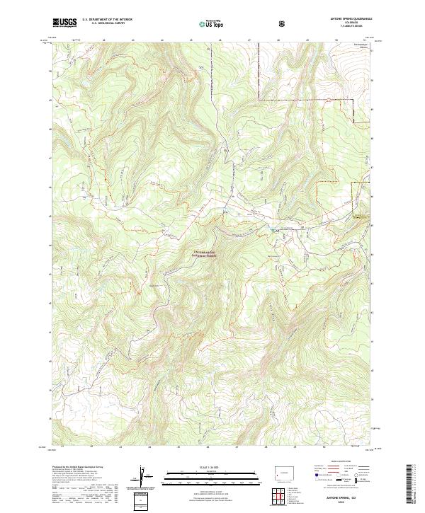
2022 Map of Antone Spring
USGS Topo · Published 2022About this map
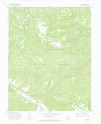
The Uncompahgre National Forest dominates this section of the Uncompahgre Plateau, where a complex network of seasonal watercourses and ridges defines the high-country landscape. This modern survey illustrates the transition from traditional travel corridors like Old Highway 90 to a sophisticated system of forest trails and maintenance tracks, including the Highway 90 Sno Trl and the Parallel Trl.
Find a feature on this map
66 named features on this map. Tap any name to fly to it.
Don’t see what you’re looking for? This feature index may not catch every label — zoom into the map to look around manually.
Map Details
Editions of this 2022 Antone Spring Map
This is the sole edition of this map. No revisions or reprints were ever made.
Other maps of this area

1956 · Moab
USGS Topo · 1:250,000

1959 · Moab
USGS Topo · 1:250,000

1960 · Moab
USGS Topo · 1:250,000

1962 · Moab
USGS Topo · 1:250,000

1964 · Moab
USGS Topo · 1:250,000
1964 · Norwood
USGS Topo · 1:24,000

1965 · Moab
USGS Topo · 1:250,000
1967 · Hotchkiss Reservoir
USGS Topo · 1:24,000
1967 · Sanborn Park
USGS Topo · 1:24,000
1973 · Ute
USGS Topo · 1:24,000