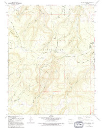
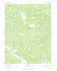
1994 Map of Antone Spring
USGS Topo · Published 1994About this map
The Uncompahgre National Forest dominates this high-altitude landscape along the border of Montrose and Ouray counties. The network of seasonal livestock stations, including Gray Cow Camp and Lary Y Cow Camp, indicates the area's continued use for high-country grazing. Movement through the complex drainage systems of Roubideau Creek and Cottonwood Creek is facilitated by historic paths like the Roubideau Trail and the Transfer Road. Centrally located along the North Divide Road, the Antone Spring Campground and Iron Spring Campground serve as hubs for modern recreation. From the summit of Reade Hill to the various named water sources like Darling Lake and Box Spring, the map details a terrain defined by deep draws such as Canyon Red Draw and a web of four-wheel-drive trails used for resource management and exploration.
Find a feature on this map
42 named features on this map. Tap any name to fly to it.
Don’t see what you’re looking for? This feature index may not catch every label — zoom into the map to look around manually.
Map Details
Editions of this 1994 Antone Spring Map
This is the sole edition of this map. No revisions or reprints were ever made.
Other maps of this area

1956 · Moab
USGS Topo · 1:250,000

1959 · Moab
USGS Topo · 1:250,000

1960 · Moab
USGS Topo · 1:250,000

1962 · Moab
USGS Topo · 1:250,000

1964 · Moab
USGS Topo · 1:250,000
1964 · Norwood
USGS Topo · 1:24,000

1965 · Moab
USGS Topo · 1:250,000
1967 · Hotchkiss Reservoir
USGS Topo · 1:24,000
1967 · Sanborn Park
USGS Topo · 1:24,000
1973 · Ute
USGS Topo · 1:24,000