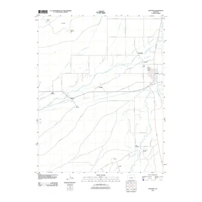
2010 Map of Antonito
USGS Topo · Published 2010About this map
Antonito and its surrounding communities in the San Luis Valley are defined by an intricate network of irrigation canals and gravity-fed waterways. The confluence of the Conejos River and Rio San Antonio provides the lifeblood for this high-altitude landscape, supporting a series of historic settlements including Guadalupe, Conejos, and San Antonio. This 2010 survey reveals the deep genealogical roots of the area through its numerous local burial grounds, such as Warshaver Cemetery and Antonio Cemetery near the main townsite.
Find a feature on this map
56 named features on this map. Tap any name to fly to it.
Don’t see what you’re looking for? This feature index may not catch every label — zoom into the map to look around manually.
Map Details
Editions of this 2010 Antonito Map
This is the sole edition of this map. No revisions or reprints were ever made.
Other maps of this area

1918 · Tusas
USGS Topo · 1:125,000

1922 · Conejos
USGS Topo · 1:125,000

1945 · Durango
USGS Topo · 1:250,000

1953 · Durango
USGS Topo · 1:250,000

1954 · Durango
USGS Topo · 1:250,000

1954 · Raton
USGS Topo · 1:250,000

1954 · Trinidad
USGS Topo · 1:250,000

1954 · Aztec
USGS Topo · 1:250,000

1955 · Trinidad
USGS Topo · 1:250,000

1958 · Raton
USGS Topo · 1:250,000