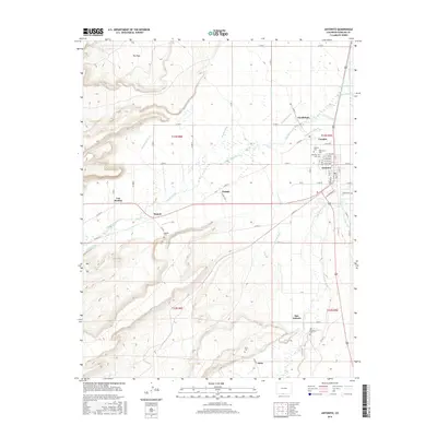
2016 Map of Antonito
USGS Topo · Published 2016About this map
Antonito serves as the primary hub in this southern Colorado landscape, where the Conejos River and Rio San Antonio create a fertile valley surrounded by higher terrain such as The Poso. The settlement pattern follows a traditional acequia-inspired irrigation network, evidenced by the numerous waterways like the Antonio Ditch, Mogote Ditch, and Heads Mill Ditch that lace between small communities.
Find a feature on this map
68 named features on this map. Tap any name to fly to it.
Don’t see what you’re looking for? This feature index may not catch every label — zoom into the map to look around manually.
Map Details
Editions of this 2016 Antonito Map
This is the sole edition of this map. No revisions or reprints were ever made.
Other maps of this area

1918 · Tusas
USGS Topo · 1:125,000

1922 · Conejos
USGS Topo · 1:125,000

1945 · Durango
USGS Topo · 1:250,000

1953 · Durango
USGS Topo · 1:250,000

1954 · Durango
USGS Topo · 1:250,000

1954 · Raton
USGS Topo · 1:250,000

1954 · Trinidad
USGS Topo · 1:250,000

1954 · Aztec
USGS Topo · 1:250,000

1955 · Trinidad
USGS Topo · 1:250,000

1958 · Raton
USGS Topo · 1:250,000