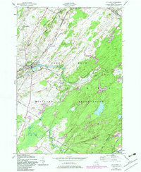
1949 Map of Antwerp
USGS Topo · Published 1982About this map
The Indian River winds through the village of Antwerp in northern New York, carving a path through a landscape where rural development meets federal expansion. Much of this territory is occupied by the Fort Drum Military Reservation, its boundary cutting across the eastern and southern portions of the sheet and encompassing the Rifle Range. The map reveals the proximity of military land to local infrastructure, including several family-named roads like Carr Road and Wallace Road.
Find a feature on this map
37 named features on this map. Tap any name to fly to it.
Don’t see what you’re looking for? This feature index may not catch every label — zoom into the map to look around manually.
Map Details
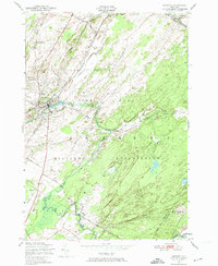
Editions of this 1949 Antwerp Map
2 editions found
Other maps of this area

1911 · Antwerp
USGS Topo · 1:62,500

1912 · Hammond
USGS Topo · 1:62,500

1913 · Lake Bonaparte
USGS Topo · 1:62,500

1915 · Gouverneur
USGS Topo · 1:62,500

1916 · Lake Bonaparte
USGS Topo · 1:62,500

1937 · Gouverneur
USGS Topo · 1:62,500

1944 · Hammond
USGS Topo · 1:62,500

1948 · Ogdensburg
USGS Topo · 1:250,000

1949 · Hammond
USGS Topo · 1:62,500

1949 · Antwerp
USGS Topo · 1:62,500