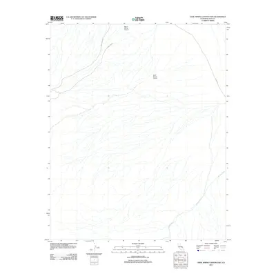
2012 Map of Anvil Spring Canyon East
USGS Topo · Published 2012About this map
Anvil Spring Canyon cuts through the desert landscape of Inyo County in this 2012 survey, revealing the complex drainage systems and remote routes of the region. The map highlights the vast alluvial basins and dry desert washes that characterize this part of California, with Wingate Wash dominating the southeastern portion of the sheet. Transportation in this arid environment relies on several established desert tracks and paved connectors, including the Butte Valley Rd and Jubilee Pass Rd which converge in the north. The presence of Warm Spring Canyon and other named topographic features provides essential orientation for those navigating the high desert between mountain ranges. The drainage patterns and road alignments, such as the W Side Hwy, reflect the modern management of this landscape by agencies like the U.S. Geological Survey.
Find a feature on this map
6 named features on this map. Tap any name to fly to it.
Don’t see what you’re looking for? This feature index may not catch every label — zoom into the map to look around manually.
Map Details
Editions of this 2012 Anvil Spring Canyon East Map
This is the sole edition of this map. No revisions or reprints were ever made.
Other maps of this area

1908 · Furnace Creek
USGS Topo · 1:250,000

1910 · Furnace Creek
USGS Topo · 1:250,000

1933 · Avawatz Mountains
USGS Topo · 1:250,000

1947 · Trona
USGS Topo · 1:250,000

1948 · Trona
USGS Topo · 1:250,000

1948 · Death Valley
USGS Topo · 1:250,000

1950 · Wingate Wash
USGS Topo · 1:62,500

1950 · Confidence Hills
USGS Topo · 1:62,500

1951 · Funeral Peak
USGS Topo · 1:62,500

1952 · Bennetts Well
USGS Topo · 1:62,500