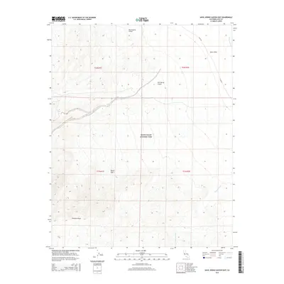
2015 Map of Anvil Spring Canyon East
USGS Topo · Published 2015About this map
Death Valley National Park encompasses this stark, arid landscape where the eastern slopes of the Panamint Range descend toward the valley floor. This 2015 U.S. Geological Survey representation details a region of dramatic elevation changes and ephemeral water systems. To the south, the Mojave Desert terrain is carved by Wingate Wash, while the northern reaches include the drainage of Warm Spring Canyon. The presence of the Amargosa River on the eastern edge of the quadrangle highlights the complex hydrology of this closed basin. The only significant transportation corridor is the W Side Rd, which skirts the edge of Death Valley, providing a singular point of access through the alluvial fans and canyons like Anvil Spring Canyon. This map serves as a precise record of the federal land boundaries and natural features within one of the most extreme environments in North America.
Find a feature on this map
13 named features on this map. Tap any name to fly to it.
Don’t see what you’re looking for? This feature index may not catch every label — zoom into the map to look around manually.
Map Details
Editions of this 2015 Anvil Spring Canyon East Map
This is the sole edition of this map. No revisions or reprints were ever made.
Other maps of this area

1908 · Furnace Creek
USGS Topo · 1:250,000

1910 · Furnace Creek
USGS Topo · 1:250,000

1933 · Avawatz Mountains
USGS Topo · 1:250,000

1947 · Trona
USGS Topo · 1:250,000

1948 · Trona
USGS Topo · 1:250,000

1948 · Death Valley
USGS Topo · 1:250,000

1950 · Wingate Wash
USGS Topo · 1:62,500

1950 · Confidence Hills
USGS Topo · 1:62,500

1951 · Funeral Peak
USGS Topo · 1:62,500

1952 · Bennetts Well
USGS Topo · 1:62,500