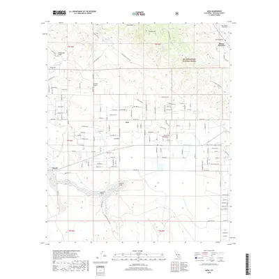
2018 Map of Anza
USGS Topo · Published 2018About this map
Anza and the neighboring community of Cahuilla anchor this high-altitude landscape where the southern reaches of the San Jacinto Mountains meet the high desert plateaus. Much of the northeast is defined by the San Bernardino National Forest, dominated by Thomas Mtn and the sweeping Garner Valley. The map reveals a complex network of forest routes and local roads, such as Bautista Rd and Tripp Flats Rd, which follow the natural contours of the land through Bautista Canyon and Cottonwood Canyon.
Find a feature on this map
130 named features on this map. Tap any name to fly to it.
Don’t see what you’re looking for? This feature index may not catch every label — zoom into the map to look around manually.
Map Details
Editions of this 2018 Anza Map
This is the sole edition of this map. No revisions or reprints were ever made.
Other maps of this area

1901 · Southern California Sheet No. 1
USGS Topo · 1:250,000

1901 · San Jacinto
USGS Topo · 1:125,000

1903 · Ramona
USGS Topo · 1:125,000

1904 · Southern California Sheet No. 2
USGS Topo · 1:250,000

1904 · Southern California Sheet No. 1
USGS Topo · 1:250,000

1939 · Warner Springs
USGS Topo · 1:62,500

1939 · Palomar Mountain
USGS Topo · 1:62,500

1940 · Hemet Reservoir
USGS Topo · 1:62,500

1942 · Hemet Reservoir
USGS Topo · 1:62,500

1942 · Hemet
USGS Topo · 1:62,500