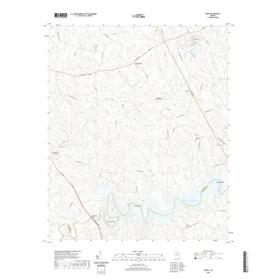
2020 Map of Aonia
USGS Topo · Published 2020About this map
J. Strom Thurmond Reservoir dominates the southern landscape of this Georgia quadrangle, where the Little River and Rocky Cr converge. The topography is defined by the winding meanders of the reservoir, including distinct features like Fish Dam Bend, Busseys Bend, and Griffins Bend. The Tom Watson Bridge spans the narrow reaches of the water, connecting the road networks of Wilkes and McDuffie counties.
Find a feature on this map
60 named features on this map. Tap any name to fly to it.
Don’t see what you’re looking for? This feature index may not catch every label — zoom into the map to look around manually.
Map Details
Editions of this 2020 Aonia Map
This is the sole edition of this map. No revisions or reprints were ever made.
Other maps of this area

1892 · Mc Cormick
USGS Topo · 1:125,000

1906 · Crawfordville
USGS Topo · 1:125,000

1912 · Mc Cormick
USGS Topo · 1:125,000

1921 · Appling
USGS Topo · 1:62,500

1943 · Appling
USGS Topo · 1:62,500

1953 · Athens
USGS Topo · 1:250,000

1954 · Metasville
USGS Topo · 1:24,000

1955 · Tignall
USGS Topo · 1:24,000

1958 · Athens
USGS Topo · 1:250,000

1959 · Athens
USGS Topo · 1:250,000