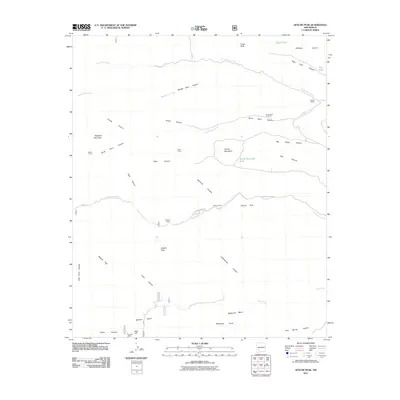
2011 Map of Apache Peak
USGS Topo · Published 2011About this map
Apache Peak serves as a central landmark in this high-desert landscape, where the drainage systems of North Seco Creek, Middle Seco Creek, and South Seco Creek carve deep canyons through the terrain. The presence of the Ingersoll Mine and various corrals like Walnut Corral, Hilton Corral, and Chacon Corral indicates a history of both mineral exploration and ranching. Livestock management is further evidenced by water sources like the South Seco Windmill and Round Mountain Tank, which were essential for supporting the L M Bar Ranch and operations at Apache Camp. High points such as Indian Peak and Flagpole Mountain provide vantage points over the complex network of canyons, including Big Rocky Canyon and Hells Canyon. This 2011 survey documents the persistent rural character of Sierra County, where land use remains tied to the available water from Las Animas Creek and remote springs like Pine Spring.
Find a feature on this map
44 named features on this map. Tap any name to fly to it.
Don’t see what you’re looking for? This feature index may not catch every label — zoom into the map to look around manually.
Map Details
Editions of this 2011 Apache Peak Map
This is the sole edition of this map. No revisions or reprints were ever made.
Other maps of this area

1935 · Hillsboro
USGS Topo · 1:48,000

1940 · Hillsboro
USGS Topo · 1:62,500

1954 · Tularosa
USGS Topo · 1:250,000

1955 · Las Cruces
USGS Topo · 1:250,000

1956 · San Lorenzo
USGS Topo · 1:62,500

1958 · Las Cruces
USGS Topo · 1:250,000

1958 · Tularosa
USGS Topo · 1:250,000

1963 · Bell Mountain
USGS Topo · 1:24,000

1963 · Thumb Tank Peak
USGS Topo · 1:24,000

1963 · Reeds Peak
USGS Topo · 1:24,000