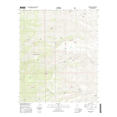
2017 Map of Apache Peak
USGS Topo · Published 2017About this map
Apache Peak and the high ridges of the Gila National Forest dominate this high-desert landscape in Sierra County. The terrain is defined by a dense network of drainages and canyons, most notably Middle Seco Canyon, Conley Canyon, and Big Rocky Canyon, which cut through the uplift toward the Las Animas Creek basin. The map reveals a land managed for both conservation and livestock, where named water sources like Maverick Spring, Turkey Spring, and Bald Hill Spring were critical infrastructure for the region's ranching history.
Find a feature on this map
50 named features on this map. Tap any name to fly to it.
Don’t see what you’re looking for? This feature index may not catch every label — zoom into the map to look around manually.
Map Details
Editions of this 2017 Apache Peak Map
This is the sole edition of this map. No revisions or reprints were ever made.
Other maps of this area

1935 · Hillsboro
USGS Topo · 1:48,000

1940 · Hillsboro
USGS Topo · 1:62,500

1954 · Tularosa
USGS Topo · 1:250,000

1955 · Las Cruces
USGS Topo · 1:250,000

1956 · San Lorenzo
USGS Topo · 1:62,500

1958 · Las Cruces
USGS Topo · 1:250,000

1958 · Tularosa
USGS Topo · 1:250,000

1963 · Bell Mountain
USGS Topo · 1:24,000

1963 · Thumb Tank Peak
USGS Topo · 1:24,000

1963 · Reeds Peak
USGS Topo · 1:24,000