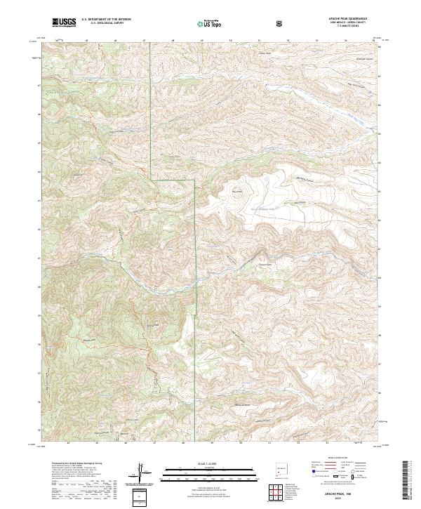
2023 Map of Apache Peak
USGS Topo · Published 2023About this map
Apache Peak stands as the central topographic anchor of this high-elevation region in Sierra County, marking a landscape defined by deep drainage systems and mountain summits. This area is largely protected within the Gila National Forest and the Aldo Leopold Wilderness, where the terrain drops sharply into Cottonwood Canyon and Hells Canyon. The presence of numerous watering points, including Maverick Spring, Conley Spring, and Bald Hill Spring, indicates the vital importance of natural water sources for ranching and wildlife in this arid environment.
Find a feature on this map
52 named features on this map. Tap any name to fly to it.
Don’t see what you’re looking for? This feature index may not catch every label — zoom into the map to look around manually.
Map Details
Editions of this 2023 Apache Peak Map
This is the sole edition of this map. No revisions or reprints were ever made.
Other maps of this area

1935 · Hillsboro
USGS Topo · 1:48,000

1940 · Hillsboro
USGS Topo · 1:62,500

1954 · Tularosa
USGS Topo · 1:250,000

1955 · Las Cruces
USGS Topo · 1:250,000

1956 · San Lorenzo
USGS Topo · 1:62,500

1958 · Las Cruces
USGS Topo · 1:250,000

1958 · Tularosa
USGS Topo · 1:250,000

1963 · Bell Mountain
USGS Topo · 1:24,000

1963 · Thumb Tank Peak
USGS Topo · 1:24,000

1963 · Reeds Peak
USGS Topo · 1:24,000