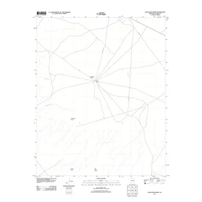
2011 Map of Appaloosa Ridge
USGS Topo · Published 2011About this map
Moenkopi Plateau anchors this high-desert landscape in northern Arizona, where a sparse network of roads connects isolated water and terrain features. The presence of the Little Cowboy Windmill at a central crossroads indicates the importance of water management in this arid environment. The terrain is defined by prominent topographical rises, most notably Appaloosa Ridge, along with The Big Ridge and The Little Ridge to the south. Seasonal drainage patterns are mapped through several dry watercourses, including Big Wash and Chiehazhahi Wash. Transportation throughout the area is facilitated by designated routes such as Indian Rte 6710 and Indian Rte 6720, which traverse the open plateau between these named ridges and washes.
Find a feature on this map
10 named features on this map. Tap any name to fly to it.
Don’t see what you’re looking for? This feature index may not catch every label — zoom into the map to look around manually.
Map Details
Editions of this 2011 Appaloosa Ridge Map
This is the sole edition of this map. No revisions or reprints were ever made.
Other maps of this area

1883 · Marsh Pass
USGS Topo · 1:250,000

1883 · Tusayan
USGS Topo · 1:250,000

1886 · Tusayan
USGS Topo · 1:250,000

1886 · San Francisco Mtns
USGS Topo · 1:250,000

1886 · Echo Cliffs
USGS Topo · 1:250,000

1891 · San Francisco Mtns
USGS Topo · 1:250,000

1891 · Echo Cliffs
USGS Topo · 1:250,000

1892 · Marsh Pass
USGS Topo · 1:250,000

1894 · San Francisco Mtns
USGS Topo · 1:250,000

1899 · San Francisco Mtns
USGS Topo · 1:250,000