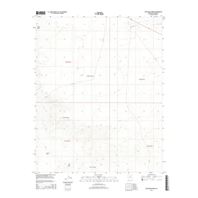
2014 Map of Appaloosa Ridge
USGS Topo · Published 2014About this map
Moenkopi Plateau dominates the northern landscape of this Coconino County terrain, characterized by a series of dramatic topographical shifts and seasonal drainage systems. The area is defined by its significant high-ground features, most notably Appaloosa Ridge and the broad expanse of Tohnali Mesa. In the northwest corner, the small settlement of Little Hollow Place stands as a rare named point of habitation in an otherwise open, arid environment.
Find a feature on this map
15 named features on this map. Tap any name to fly to it.
Don’t see what you’re looking for? This feature index may not catch every label — zoom into the map to look around manually.
Map Details
Editions of this 2014 Appaloosa Ridge Map
This is the sole edition of this map. No revisions or reprints were ever made.
Other maps of this area

1883 · Marsh Pass
USGS Topo · 1:250,000

1883 · Tusayan
USGS Topo · 1:250,000

1886 · Tusayan
USGS Topo · 1:250,000

1886 · San Francisco Mtns
USGS Topo · 1:250,000

1886 · Echo Cliffs
USGS Topo · 1:250,000

1891 · San Francisco Mtns
USGS Topo · 1:250,000

1891 · Echo Cliffs
USGS Topo · 1:250,000

1892 · Marsh Pass
USGS Topo · 1:250,000

1894 · San Francisco Mtns
USGS Topo · 1:250,000

1899 · San Francisco Mtns
USGS Topo · 1:250,000