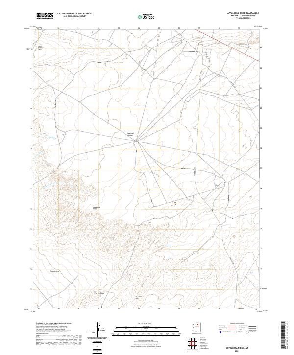
2021 Map of Appaloosa Ridge
USGS Topo · Published 2021About this map
Moenkopi Plateau dominates the central landscape of this Coconino County region, where a complex network of traditional routes and modern access points converges. The terrain is characterized by dramatic elevation changes, defined by significant landforms like Tohnali Mesa and the parallel structures of The Big Ridge and The Little Ridge. Water management and natural drainage are central to the geography here, traced through the paths of Big Wash, Little Wash, and the notably named Chiehazhahi Wash.
Find a feature on this map
16 named features on this map. Tap any name to fly to it.
Don’t see what you’re looking for? This feature index may not catch every label — zoom into the map to look around manually.
Map Details
Editions of this 2021 Appaloosa Ridge Map
This is the sole edition of this map. No revisions or reprints were ever made.
Other maps of this area

1883 · Marsh Pass
USGS Topo · 1:250,000

1883 · Tusayan
USGS Topo · 1:250,000

1886 · Tusayan
USGS Topo · 1:250,000

1886 · San Francisco Mtns
USGS Topo · 1:250,000

1886 · Echo Cliffs
USGS Topo · 1:250,000

1891 · San Francisco Mtns
USGS Topo · 1:250,000

1891 · Echo Cliffs
USGS Topo · 1:250,000

1892 · Marsh Pass
USGS Topo · 1:250,000

1894 · San Francisco Mtns
USGS Topo · 1:250,000

1899 · San Francisco Mtns
USGS Topo · 1:250,000